Editor’s note: Thanks to Dar Roberts and all his Viperets and Viperettes (especially grad students Eliza Bradley and Seth Peterson) for contributing the following “in depth” article on the VIPER “pit”!
You may not know much about the VIPER (Visualization and Image Processing of Environmental Resources) Lab, but the Viperets and Viperettes have been sensing YOU for years. The VIPER Lab is full of lots of computers and fun people — no surprise since its location on the 3rd floor of Ellison used to house the Geography main office. Alas, the frivolity is tempered by the fact that, among other things, we study death and destruction, namely fire, methane (a greenhouse gas), and famine. Furthermore, our fearless leader, Dar, is currently on sabbatical (see the January 6 article), which has brought a pall of sadness to the VIPER pit. Even though we are remote sensors, we still like to communicate face to face, so stop on by and we will bake you some cookies in our George Foreman rotisserie oven – and, by bake you cookies, we mean help you with your IDL.
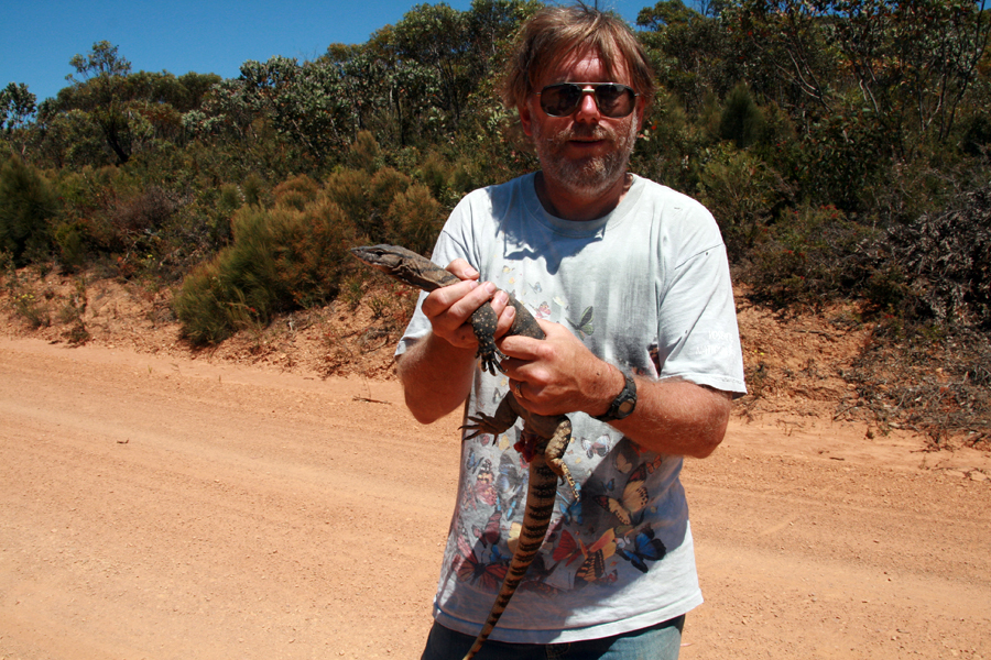
Dar Roberts is a Professor in the Department of Geography at the University of California, Santa Barbara, where he started in January 1994. He is the author of over 70 refereed publications, over 10 books/book chapters, and over 100 abstracts and non-refereed articles. Research interests include sensor fusion, change identification using multitemporal remote sensing, imaging spectrometry, spectroscopy, and wildfire hazard assessment. He has worked with hyperspectral data since 1984 and broad band sensors such as MSS and TM over the same period, as well as Synthetic Aperture Radar. More recently. he has been working with Lidar. He is the UCSB Principal Investigator of the Southern California Wildfire Hazard Center and leads the group in developing wildfire fuels maps and mapping fuel moisture using remote sensing. Courses he teaches include Land Surface Processes, Historical Geography, Spatial Environmental Modeling, Environmental Data Analysis, Environmental Optics, and Advanced Remote Sensing in the Optical (214a) and Microwave (214b).
Seth Peterson is a doctoral candidate with a BS in physical geography from UCSB and a MA in geography from SDSU. His academic interests are centered around wildfire and using remote sensing to study biophysical properties of vegetation, specifically what aspects of the vegetation have the largest affect on fire risk in a particular ecosystem, e.g., the fuel moisture content of chaparral vegetation and the biomass of conifers. He has also dabbled with fire spread modeling (FARSITE, HFire), studying the post-fire recovery of chaparral, and predicting fire risk at large spatial scales (for all of Central America). Other interests include cooking, bodyboarding, collecting art, growing food, and biking.
Eliza Bradley has a Mathematics and Physics B.S. from Guilford College and is interested in forest characterization with LiDAR, methane detection with hyperspectral data, and web camera meteorological and phenological applications. Previously, she has worked on meteorological characterization and optical quality assessment at the AEOS Observatory, Maui, and as an environmental scientist in NYC, designing and instrumenting green roof monitoring projects. An interim summer, spent as a field researcher in southern Utah studying native pollinators, convinced her that watching plants and the bees that love them was not her true calling. Her new, safer passions in Santa Barbara include hiking and moving dirt around in a way that could resemble gardening if one didn’t know any better.
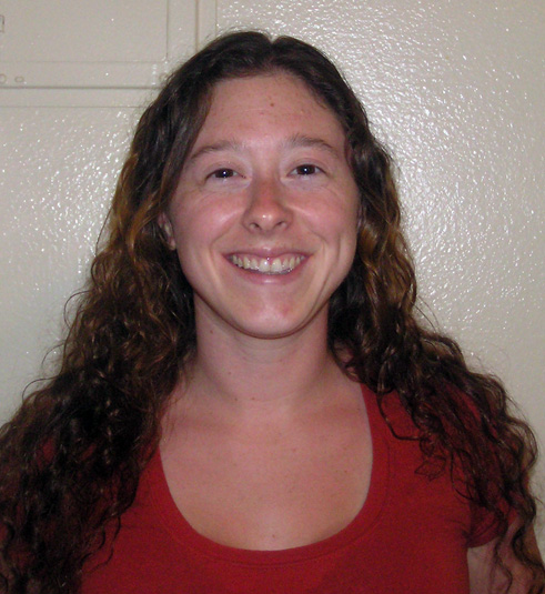
Keely Roth, a 3rd year student in the MA/PhD program, has a background in both human and physical geography. She received her undergraduate degree from the University of Miami (GO CANES!), double-majoring in International Studies & Geography and minoring in Biology. Her research interests include biogeography and remote sensing techniques for mapping plant species and forest biomass. More recently, she has become interested in measuring vegetation phenology (life-cycle) patterns. In her future work, she plans to develop methods which more directly link ground-based measurements of plant phenology to remotely sensed imagery from both multispectral and hyperspectral sensors. Before coming to UCSB, Keely completed a GIS internship at the Smithsonian Environmental Research Center, studying urban fertilizer use and watershed nutrient budgets in Maryland. Now that she is here, she enjoys reading, cooking/eating, and hitting the gym. There’s also a rumor that she enjoys RPGs…if you don’t know what that means, you’re already cool.
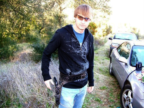
Michael Toomey is a PhD student with a BA in Geology from Colorado College and a MS in Earth System Science from the South Dakota School of Mines. He primarily works with multispectral and multitemporal remote sensing to study forest ecological dynamics, agriculture, and human-environment relations. Recently, he has developed an interest in the use of eddy covariance data in association with remote sensing data for furthering understanding of ecosystem functioning. Current projects concern land use in Rondonia, Brazil and tropical canopy albedo modeling. Before coming to UCSB, Michael was a Natural Resources and Development volunteer for the Peace Corps in Morocco. In his spare time, he enjoys playing drums, biking, hiking, traveling, languages, and reading.
Cheyne Hadley is currently a fourth year undergraduate student at UCSB. He will soon complete a BS is physical Geography. Cheyne has also just recently applied to graduate school here at UCSB to continue his research in the VIPER lab. Even though his official degree is in physical geography, he has placed special emphasis in mathematics, GIS, and remote sensing. He started his geography/remote sensing career in the Army as a 96D imagery analyst, where he was deployed several times to multiple theaters of operation, including Operation Enduring Freedom/Iraqi Freedom.
Dylan Parenti is too busy fixing your computers, finding instruments on the street (see the 5/12/08 article), being a human dictionary, and being an IT grand-wizard to write a blurb on himself. Similarly, he’s too busy to make pizzas anymore. More relevantly, Dylan got a BS in physical geography from UCSB in 1998 and is the map-making mastermind behind many of the UCSB geograpy department t-shirts.
Projects:
Viper Tools )
VIPER Tools™ is an add-on for ENVI®, the image processing software from ITT Visual Information Solutions. VIPER Tools provides a suite of new spectral processing tools focused on conducting Spectral Mixture Analysis (SMA) and Multiple Endmember Spectral Mixture Analysis (MESMA) of multispectral and hyperspectral remote sensing imagery. VIPER Tools is free software but requires that users request and install a free user license.
IDEAS (https://legacy.geog.ucsb.edu/ideas/)
The Innovative Datasets for Environmental Analysis by Students (IDEAS) project is funded by NSF and the Office of Instructional Consultation at UCSB. This project consists of a network of meteorological stations deployed in Santa Barbara County to capture the diverse environmental conditions and plant ecosystems in the region. The COPR station is located on a coastal plain, AIRS in grassland, and LISQ in oak woodland at the Sedgwick ranch. The IDEAS website features access to the data and dynamic charts, a web camera archive, and Matlab GUIs, along with many other supporting materials and background information.
Living with Deforestation
An NSF-funded collaborative project with Salisbury University and North Carolina State University integrating household surveys, GIS, and remote sensing to better understand the long-term socioeconomic effects of deforestation. Much of the data in our collection were generated as part of the LBA (Large-Scale Biosphere-Atmosphere Experiment in Amazônia – .
.JPG)


.jpg)
