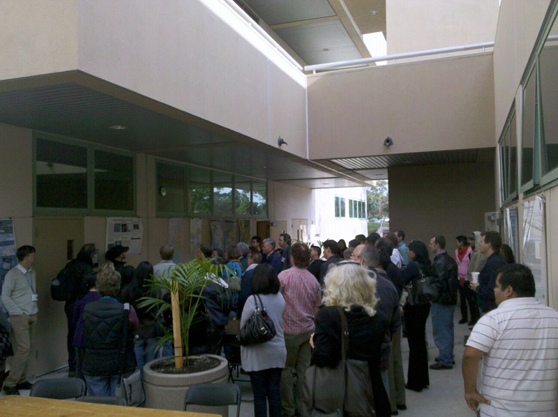
Ventura College and The Channel Islands Regional GIS Collaborative (CIRGIS) sponsored “World GIS Day” on November 18, a conference for Santa Barbara, Ventura, and the surrounding region. The conference featured a competition of poster presentations incorporating maps showing how GIS is used to manage parks, map oil pipelines, do city planning, etc., and UCSB Geography majors Seth Gorelik, Mark O’Connor, Bryan Karaffa, and Stephen Alex Gee took top honors with a project titled “Modeling the Sea Cliff Retreat in Isla Vista, California.”
Seth Gorelik noted that “The competition involved giving a short 5-10 min oral presentation to explain the poster and the work involved. There were about 7 or 8 other presenters, and the competition was not limited to students — GIS professionals for Semi Valley County took second place for their work regarding urban planning. Our project was the only one from UCSB. After Geog 172 lab, I raced down to Ventura with our poster, made it in time for the competition, hung it up on the wall, and gave the presentation. It was an exciting day. Our work received some great feedback from the local GIS community. To paraphrase Steve Palladino, Professor of GIS at Ventura College, most years a presentation wins by one or two votes, but this time around, our project won by a landslide” (pun or not, kudos to our undergrads!).
Abstract: In Isla Vista, many residential buildings in close proximity to the eroding sea cliff have been cut back periodically by property owners or condemned as unsafe by the County of Santa Barbara. This research, completed as a course project for GIS Design and Applications, Department of Geography at the University of California, Santa Barbara, explores methods to quantify and design models of this sea cliff retreat that has already displaced—and will continue to displace—numerous residents, primarily students. The objective of this study was to examine how the rates of local sea cliff retreat vary spatially, to what degree the ocean-front properties in Isla Vista will be affected, and how the sea cliff retreat process can be modeled using geographic information systems. In order to measure and create models of this erosion, historical imagery was analyzed and rates of retreat were sampled within the region of interest. The calculated rates were used to generate projections of expected sea cliff retreat. The interactive displays and spatial analyses formed in this study focused on frequency distributions as well as spatial distributions of the varying rates of retreat with respect to land parcels. The study concluded that these models and analyses can significantly increase general awareness of the geographic phenomenon as well as provide useful tools in ongoing discussions between county officials, property owners, and residents related to the impacts of sea cliff retreat in Isla Vista.


