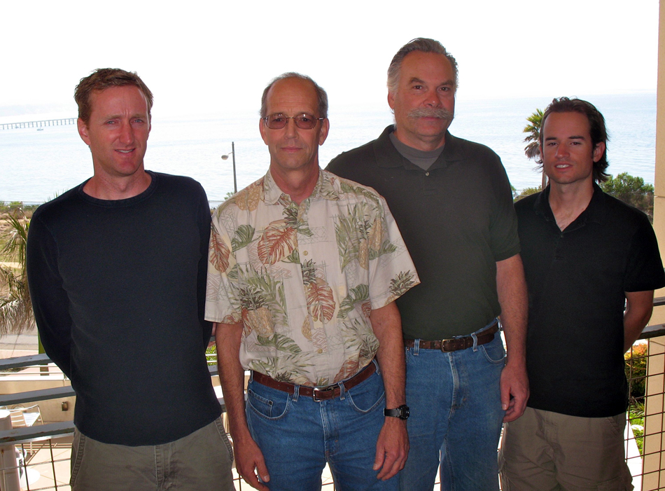
The following is a UCSB Office of Public Affairs Press Release dated May 12, 2011:
(Santa Barbara, Calif.) –– A network of high-frequency radar systems, designed for mapping ocean surface currents, is now providing detailed data on coastal ocean dynamics along the U.S. West Coast. UC Santa Barbara is part of the multi-institution research consortium that created the radar network, which has grown over the last decade from a few radar antennas to what is now considered the largest network of its kind in the world.
The 78 radar antennas cover 1,500 miles of shoreline –– from Astoria, Wash., to Tijuana, Mexico. The system was completed over the past five years, and a new study using the system was recently reported in the Journal of Geophysical Research –– Oceans. “We’re using the array to study coastal circulation of the ocean,” said Libe Washburn, oceanographer and professor of geography at UCSB. “It’s a really great technology, because it allows us to see how the water is moving within about a hundred miles of the coastline. Many scientific projects have benefitted from the data. A lot of the work I do relies on the data to interpret other types of observations that we have. Data from the systems are also used by oil spill responders, and the Coast Guard uses it in their search and rescue operations.”
Each of the 78 sites has transmit and receive antennas. The transmit antenna sends out radio waves over the ocean surface. By looking at the returned signals, the scientists can determine the speed and direction of currents over large areas of the ocean’s surface. “It’s very low-power transmission, no more than 50 watts and much less than commercial broadcasts,” said Washburn. “This radar network provides the detailed coastal surface circulation and ocean dynamics at a resolution –– kilometers in space and hourly in time –– never before resolved,” said Sung Yong Kim, a postdoctoral researcher at Scripps Institution of Oceanography, UC San Diego, and lead author of the scientific publication. “We are looking at all of the physical processes, like the wind and the tides, wave phenomena, and eddies, that cause the ocean to circulate,” said Washburn. “There are a lot of processes that are much stronger in the coastal ocean than in the open ocean. There is a broad range of subtle wave phenomena, and we think they are important for regulating certain ecological processes. That’s one of the things we are aiming to learn –– how these waves work and what their ecological consequences might be.”
The researchers can observe “coastal trapped waves” with the radar network. These are waves that travel along the coast and can last for periods of several days to a few weeks –– unlike the more familiar wind waves and ocean swells which have periods of about seven to 20 seconds. They are long waves that are caused by wind and come from as far south as Baja California. The researchers performed a multi-year synthesis of surface current observations, provided through a centralized data center designed and operated by Scripps in support of NOAA’s Integrated Ocean Observing System.
Scientists have known for years that currents at the ocean’s surface are governed by a complex combination of factors including coastal tides, winds, Earth’s rotation, synoptic ocean signals, and interactions of these forces. However, the relative contributions of these drivers are very location-specific and difficult to predict. The authors report that the research effort is a “network of networks” expanded within the oceanographic community through funding from multiple agencies. The state of California and NOAA provided much of the funding for the network, but the National Science Foundation, the Bureau of Ocean Energy Management, Regulation and Enforcement, private foundations, and the Office of Naval Research have all contributed to the researchers’ efforts in the past decade.
Washburn noted that in California there are two organizations which operate the system. These are the Southern California Coastal Ocean Observing System (SCCOOS) and the Central and Northern California Ocean Observing System (CeNCOOS). In Oregon and Washington, the Northwest Association of Networked Observing Systems (NANOOS) contributes to the project. All of three organizations provide a wealth of ocean data over the internet. In addition to Washburn and Kim, contributing authors include Burt Jones, USC; Mark Moline, Cal Poly, San Luis Obispo; Jeffrey Paduan, the Naval Postgraduate School, Monterey, Calif.; Newell Garfield, San Francisco State University; John Largier, UC Davis-Bodega Marine Laboratory; Greg Crawford, Humboldt State University (now at Vancouver Island University in Canada); Michael Kosro, Oregon State University; and Eric Terrill and Bruce Cornuelle, Scripps Institution of Oceanography, UC San Diego. Washburn’s research group includes Brian Emery and Chris Gotschalk, both programmer analysts; Cyril Johnson, engineer; David Salazar, marine technician; and Nick Dellaripa, graduate student in UCSB’s Interdepartmental Graduate Program in Marine Science.


