The 9th International Conference on Spatial Information Theory (COSIT) was held in Aber Wrac’h, France, 21-25 September 2009. Considered the premier international conference on Spatial Information Theory, COSIT is held every 2 years.
“First established in 1993 with a conference in Elba, Italy, COSIT…brings together researchers from a wide range of disciplines for intensive scientific exchanges centered on spatial information theory. COSIT submissions typically address research questions drawn from cognitive, perceptual, and environmental psychology, geography and cartography, spatial information science, computer science, artificial intelligence, cognitive science, engineering, cognitive anthropology, linguistics, ontology, architecture, planning, and environmental design. Some of the topical areas include, for example, the cognitive structure of spatial knowledge; events and processes in geographic space; incomplete or imprecise spatial knowledge; languages of spatial relations; navigation by organisms and robots; ontology of space; communication of spatial information; and the social and cultural organization of space, to name a few” (more from Springer here).
This year, 30 papers were accepted for presentation at the conference and for inclusion in Springer’s published proceedings, Lecture Notes in Computer Science. Insofar as only the most innovative and significant contributions to spatial information theory are accepted, it is to the Department’s credit that 4 of the 30 papers were first-authored by members of our department:
- The Abduction of Geographic Information Science: Transporting Spatial Reasoning to the Realm of Purpose and Design (Helen Couclelis)
- A Conceptual Model of the Cognitive Processing of Environmental Distance Information (Daniel R. Montello)
- Decentralized Time Geography for Ad-Hoc Collaborative Planning (Martin Raubal, Stephan Winter, and Christopher Dorr)
- A Metric Conceptual Space Algebra (Benjamin Adams and Martin Raubal)
Three of our grad students participated in the Doctoral Colloquium: Drew Dara-Abrams (co-advised by Martin Raubal & Dan Montello), Ben Adams (advisor Martin Raubal), and Karl Grossner (advisor Mike Goodchild). Drew won the Ordnance Survey Cognitive Science Award for his paper submitted to the Doctoral Colloquium titled “Learning and Navigating Built Environments: Individuals’ Travel Patterns and Spatial Knowledge Measured in the Field with a Mobile Geographic Information System.” Brent Hecht (Geography alumnus) received the best (junior) presentation award; Martin Raubal (together with Alex Klippel, Penn State) held a full-day tutorial on “Perspectives on Semantic Similarity for the Spatial Sciences” at the beginning of the conference; and Dan Montello gave a short presentation in memory of Reg Golledge who contributed greatly to the COSIT conference series from its inception, serving on both the Steering Committee and the Program Committee.
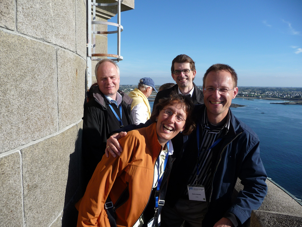
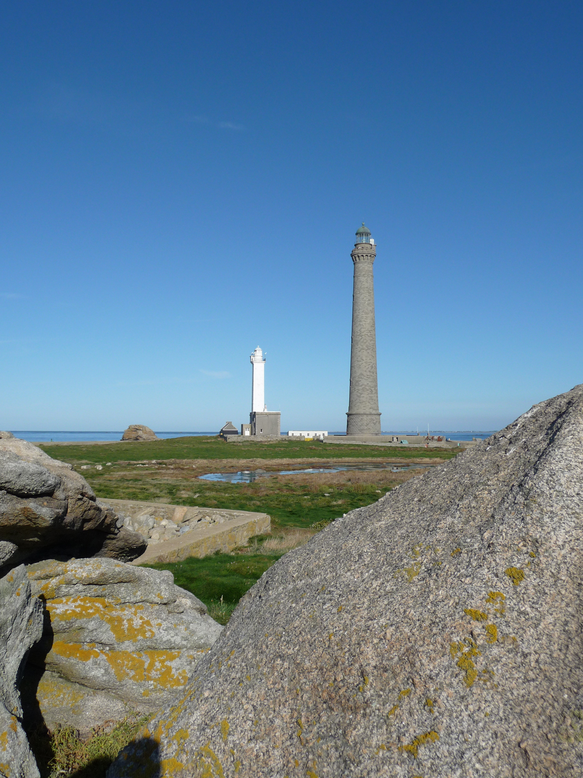
COSIT conferences are traditionally held at relatively remote but easily accessible sites. This year’s venue, Aber Wrac’h, is a small village and port located on the Wrac’h river in the commune of Landéda in the department of Finistère in France, located in Brittany (Wikipedia). Martin Raubal summed the experience up by stating: “It was a great event at a great location and with great food and lots of stimulating discussions. And the weather was excellent too.” Hey, Geography isn’t all work and no play!
Editor’s note: Thanks to Martin Raubal for providing most of the text and all of the photos used in this article.


