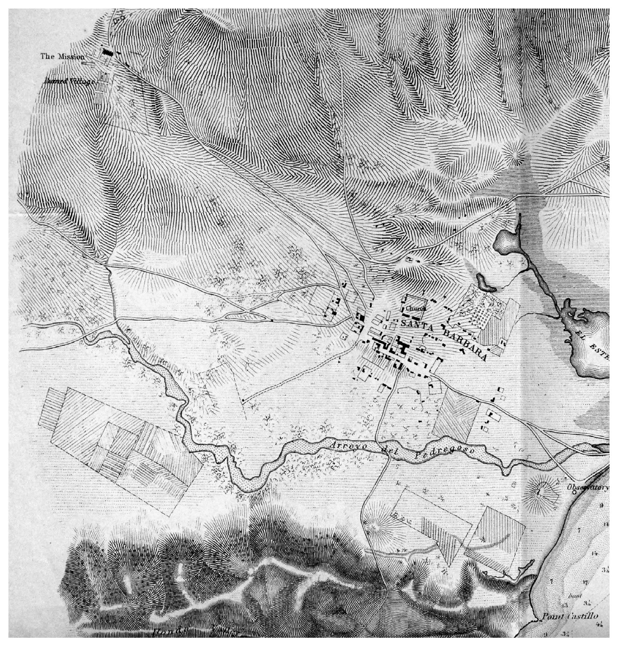
Alumnus John Cloud (PhD, 2000), a Geographer, writer, and editor for the NOAA Central Library, recently wrote to say: “My friend and colleague Scott Byram just published a book on the re-application of historic Coast Survey data of various kinds to California coastal landscape research and re-construction. The data he addresses includes the comprehensive mapping, in the later 19th century, of the entire coastline of Santa Barbara County and the campus, of course. The book can be downloaded free, using the permalink http://escholarship.org/uc/item/6tt003pf.
The book, “Triangulating Archaeological Landscapes: The US Coast Survey in California 1850-1895,” by R. Scott Byram is in Volume 65, Contributions of the University of California, Archaeological Research Facility, UC Berkeley; ISBN 978-0-9890022-0-2. According to the abstract: “Archival maps and other field records from nineteenth century surveys of the Pacific Coast of North America are examined for archaeological information using site records, historical documents and landscape characteristics as context. Over fifty archaeological and historical site locations are depicted in sketches, mapped coordinates, topographic maps, and narrative text. Representing the early phase of archaeological use of the US Coast Survey materials at the National Archives, this volume demonstrates the wealth of material yet to be incorporated into West Coast research.”