ESRI Press has just announced the publication of a new edition of Notes and Comments on the Composition of Terrestrial and Celestial Maps by J. H. Lambert: “A historically significant work on modern map projections and their mathematical underpinnings. The original German edition introduced several distinct map projections still in use today and revealed the cartographic genius of author J. H. Lambert (1728-77). In 1972, on the 200th anniversary of this seminal work, noted geographer Waldo R. Tobler published an English translation of Lambert’s writings, but it has been unavailable for several years. This new edition of the translation includes an expanded preface and reference section and a new biographical sketch of J. H. Lambert.” (Reference: J. H. Lambert, 1772, “Notes and Comments on the Composition of Terrestrial and Celestial Maps”, Translated and Introduced by W. R. Tobler, 1972, new edition by ESRI Press, 2011. ISBN 978-1-58948-281-4.)
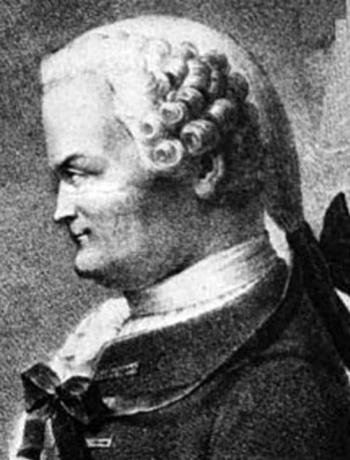
“Johann Heinrich Lambert stepped beyond humble beginnings to walk among royalty and leading scholars of eighteenth-century Europe. Largely self-taught, he became one of the world’s preeminent mathematicians and cartographers, and he was among the first to address the general properties of map projections.”
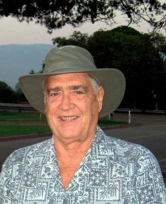
“Waldo R. Tobler, a leading geographer, professor, cartographer, is a prolific author on the subject of map projections and computational geography. He is professor emeritus in geography at the University of California, Santa Barbara, and an Honorary Fellow of the American Geographical Society.”
To quote Professor Emeritus Tobler: “You’ve heard of Lambert’s equal area azimuthal map projection, chosen by the European Union as the best map for statistical data? No? Then perhaps his equal area conic projection or the Lambert cylindrical equal area projection? No? Well now you can read all about these in my translation of the eighteenth century classic just published by ESRI Press. Follow along as Lambert glides smoothly between the stereographic map and the Mercator to discover the conformal conic, used by aviators worldwide. Heard of Lagrange’s projection? Lambert invented it. The Transverse Mercator projection? Lambert was the first to use it. Do you measure the luminance of light in Lamberts? Guess who it’s named after. Sensational? Perhaps, but all true. A biographical sketch and publication list of this enlightened polymath by H. Maurer and a modern reference list are included as appendices.”
Editor’s note: Waldo also points out that three geographers associated with UCSB have their work cited in the recent “Atlas of Science: Visualizing What We Know,” MIT Press, 2010, ISBN 978-0-262-01445-8. They are Sara Fabrikant, Michael Goodchild, and Waldo Tobler.


