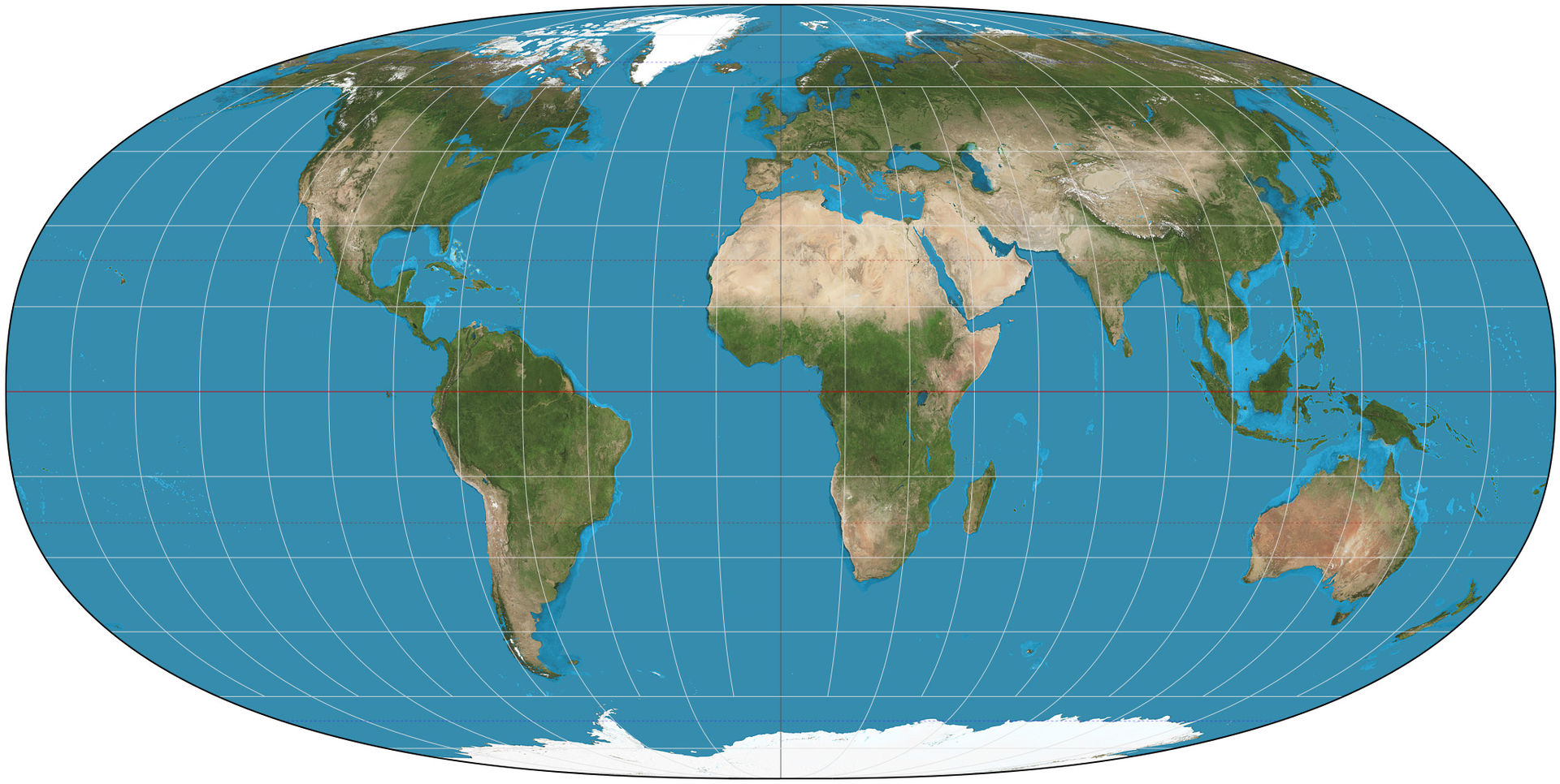
“The Tobler hyperelliptical projection is a family of equal-area pseudocylindrical map projections first described by Waldo R. Tobler in 1973. The imagery used for the map is derived from NASA’s Blue Marble summer months composite, with oceans lightened to enhance legibility and contrast” (source).
“Like any pseudocylindrical projection, in the projection’s normal aspect the parallels of latitude are parallel, straight lines. Their spacing is calculated to provide the equal-area property. Except for the straight central meridian, the meridians of longitude are curves of the form a|x|γ + b|y|γ = 1 (with a dependent on longitude and b constant for a given map), known as superellipses or Lamé curves. When γ=1 the projection degenerates to the Collignon projection; when γ=2 the projection becomes the Mollweide projection; the limiting case as γ→∞ is the Cylindrical equal-area projection. Values of γ that are favored by Tobler and others are generally greater than 2” (source).
Editor’s note: Many thanks to ex-Geography staffer Christian Brown for bringing this to our attention.