The Waldo Tobler Distinguished Lecture in GIScience was instituted by the Geographic Information Science and Systems Specialty Group of the American Association of Geography in order to honor Professor Tobler and his contributions to the Discipline. The first lecture was presented by Dr. Marc Armstrong (Chair of the Department of Geography at the University of Iowa) at the 2008 Annual Meeting of the AAG in Boston; David Mark (Department of Geography, State University of New York at Buffalo) presented the second lecture at this year’s Annual Meeting in Las Vegas.
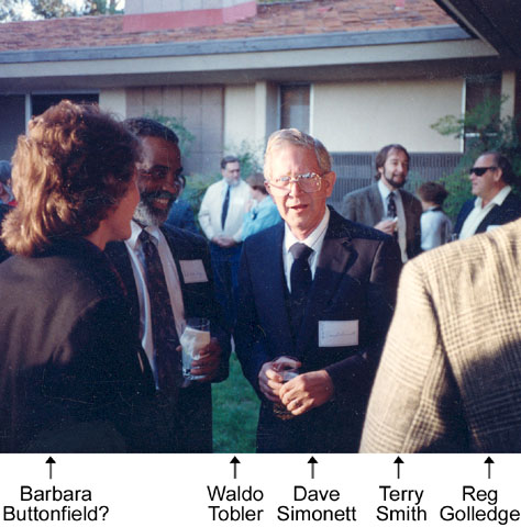
Emeritus Professor Waldo Tobler retired from teaching in 1994, but he continues to publish work related to his research interests of cartography and computational geography. Waldo received his PhD in Geography from the University of Washington in Seattle and joined the UCSB Department of Geography in 1977. Until his retirement, he held the positions of Professor of Geography and Professor of Statistics. He has used computers in geographic research for over forty years, with emphasis on mathematical modeling and graphic interpretations. Well known for his publications, he formulated the “first law of geography” (1970) which states: “Everything is related to everything else, but near things are more related to each other.”
“If any one paradigm within cartography has an “intellectual leader,” it is analytical cartography. Waldo Tobler originated (in the 1960s) and nurtured (in the 1970s and 1980s) the idea of mathematical, transformational, or analytical approach to the subject. Tobler laid out the agenda for an analytical cartography in his seminal 1976 paper, “Analytical Cartography,” published in the American Cartographer. This paper, and Tobler’s ideas, had a profound effect on American academic cartography” (A History of Twentieth Century American Academic Cartography: Mc Master, Robert B, Susanna McMaster, American Congress on Surveying and Mapping, Cartography and Geographic Information Science, 29 305-320, 2002).
According to his Wikipedia page, “Tobler has also been concerned with representing flow (due to its involvement with movement as a mechanism of geographic change). In 2003, Tobler released a freeware, Microsoft Windows-based version of his flow representation software Flow Mapper. In 2005, an ESRI ArcGIS version of the software, inspired by Tobler, was developed by Alan Glennon and Mike Goodchild at UCSB. Both versions are available from the Center for Spatially Integrated Social Science.”
Waldo’s many honors include:
- Member of the National Academy of Sciences of the United States
- Honorary Fellow, American Geographical Society
- O. M. Miller Cartographic Medal, American Geographical Society, 1989
- Meritorious Contributor Medallion, Association of American Geographers, 1971
- Andrew McNally Award, 1986
- ESRI Lifetime Achievement Award, 1999
- AAG Microcomputer Specialty Award, 1993.
- Phi Beta Kappa, Sigma Xi, Phi Kappa Phi.
Dr. Tobler served on the National Research Council’s Board on Earth Sciences. He has been on the editorial board of several journals, including The American Cartographer, Journal of Regional Science, Geographical Analysis, and the International Journal of Geographical Information Systems. He was a charter member of the Urban and Regional Information Systems Association, a council member of the Regional Science Association, member and chairman of the Mathematical Social Science Board, and served as the United States delegate to the International Geographical Union Commission on Geographical Data Processing and Sensing. Until his retirement, he was a member of the Royal Geographical Society of Great Britain. For more, see Professor Tobler’s web site at https://legacy.geog.ucsb.edu/~tobler/.
Article by Bill Norrington