Assistant Professor Martin Raubal’s son Ian, age 6, is no “Raubal without a cause”—judging by his drawings on our staff conference room blackboard, he’s destined to become a geographer. Ian’s cartographic contributions have been appearing on a regular basis ever since his Mom, Gwen, began bringing him along when she started helping us out as a part time staff assistant. Ian was born in Austria, his Dad is from Austria, his Mom is from Maine, and the family landed in Santa Barbara in 2006 after living in Germany for almost 5 years—and Ian is already drawing maps of his travels.
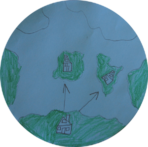
Gwen’s take on Ian’s cartogram (bottom, right) is that the apparent land mass at the bottom is the USA, with arrows pointing to Germany and Austria. In an apparent effort to sort out north-south alignment, Ian also produced the drawing shown at the right (2nd one down). Perhaps he simply takes after his Dad, whose teaching includes courses on digital cartography, geoinformatics, cognitive and temporal aspects of GIS, spatial cognition and wayfinding, and research methods. And perhaps Ian’s just good at drawing and happens to be fond of maps…and pirates!
(Photos of Ian’s artwork by Guylene Gadal; article by Bill Norrington)