The following is a wired.com article written by Greg Miller and posted on February 3 with the title above:
So you fired up your GIS software and made an eye-popping, Christmas-colored map of holiday sales figures. Good job, genius, you’ve created a cartographic calamity: nearly unreadable by the color-blind and merely unintuitive to everyone else. You obviously haven’t met Cindy Brewer.
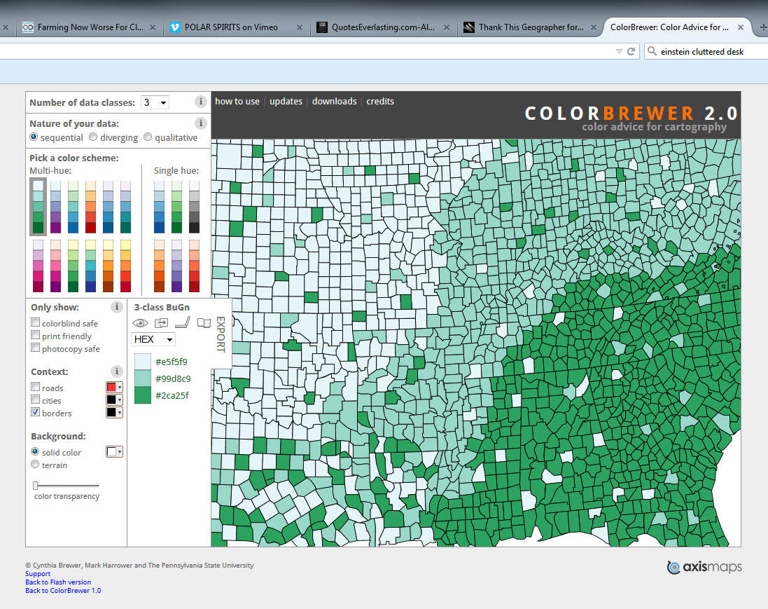
Brewer, a geographer at Penn State, builds visual perception research into dummy-proof tools for mapmakers. Her first creation, ColorBrewer, helps pick color schemes to fit data. If you’re mapping something like population density or temperature, a light-to-dark gradient is best. But when you want to emphasize highs and lows—of unemployment, say—the program might suggest reds at one end and blues at the other. “It’s all about matching data dimensions with perceptual dimensions,” Brewer says.
Put maps online and the problems multiply. So now Brewer is working to solve digital dilemmas—as users zoom out, for example, roads have to get skinnier, landmarks have to disappear, and labels have to move. Brewer has devised rules that adapt design elements to shifting scales, and the US Geological Survey will use some on its trove of digital topographic maps. The hikers, search-and-rescue groups, and government agencies that download them will get the best maps possible—no matter where they’ve zoomed to. Check out the ColorBrewer mapping tool here.
Editor’s note: Many thanks to Geography graduate student Grant McKenzie for suggesting this material. Professor Emeritus Waldo Tobler adds that “Cindy spent a year here (1986/87), teaching cartography and producing the best street map ever of Santa Barbara.”