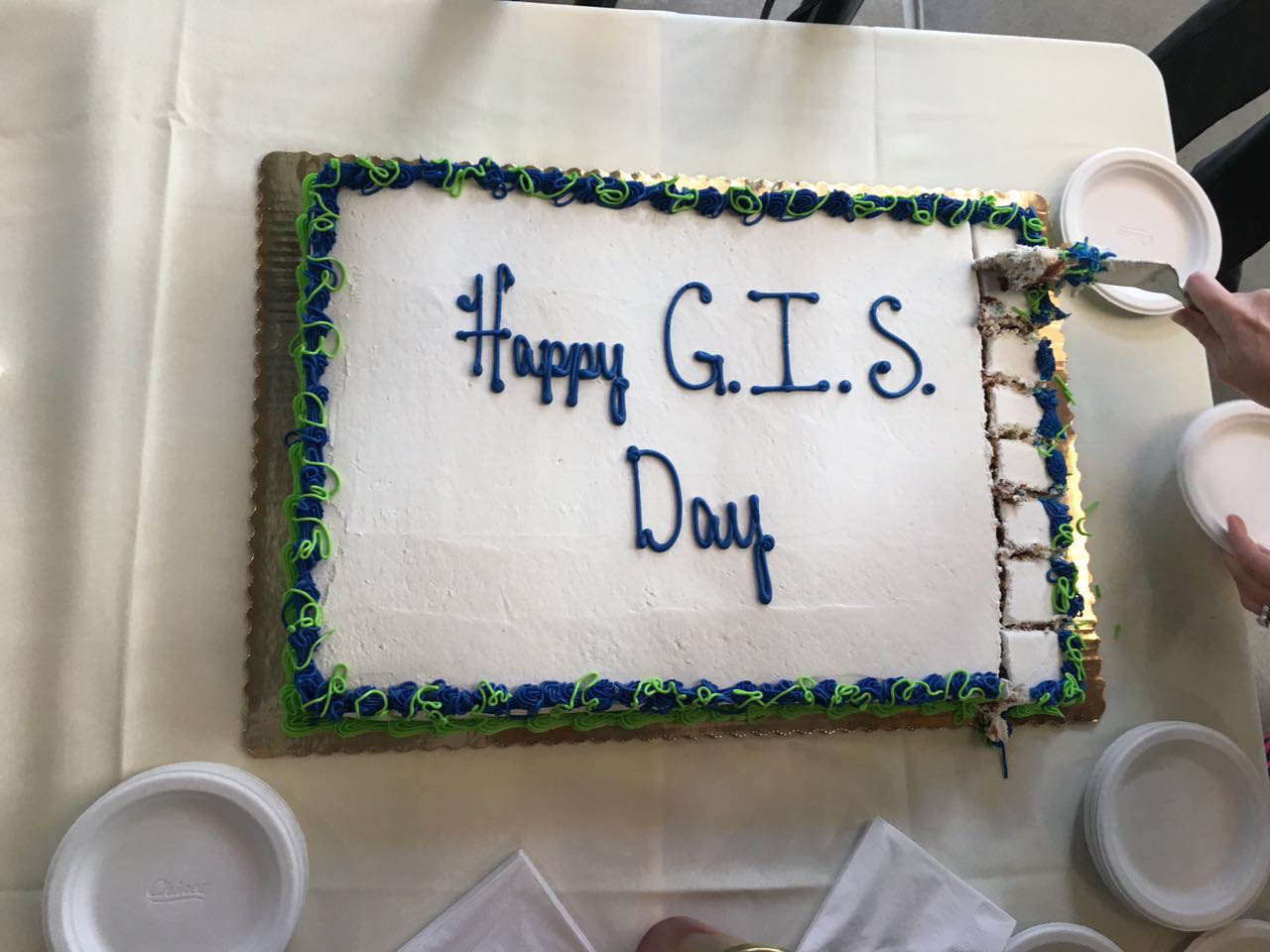
A 2015 GIS Day@UCSB celebration was held on Nov. 18th, 2015, during Geography Awareness Week. As a global event, GIS Day provides a great opportunity for GIS users, researchers, and industry engineers to exchange ideas and to present works to a wide audience in order to facilitate spatial thinking and the use of GIS in our local community.
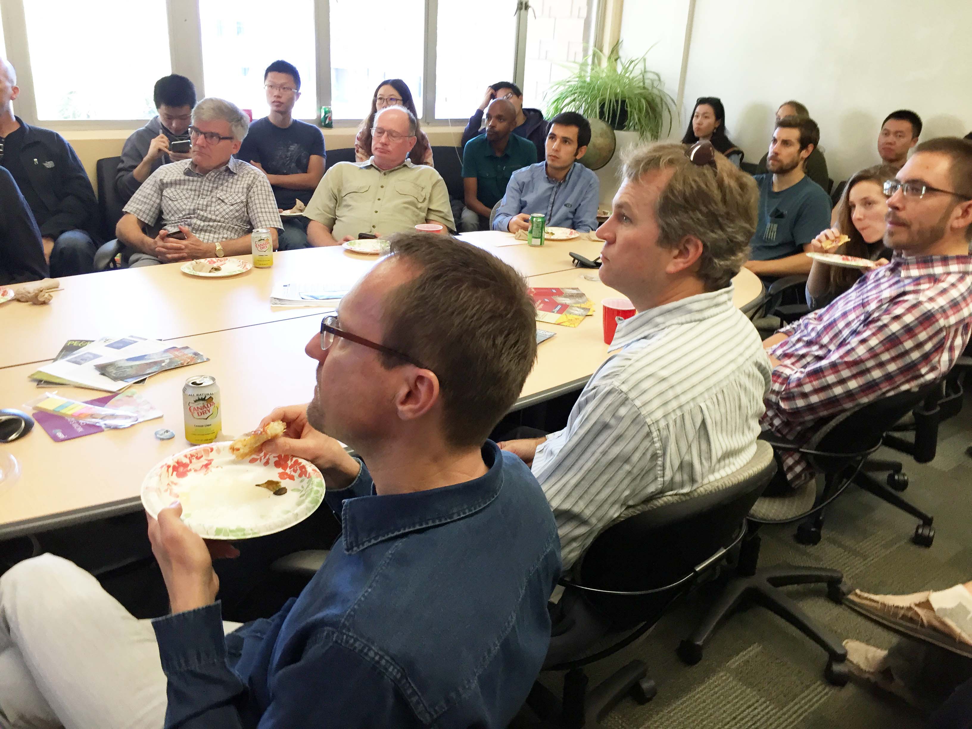
To celebrate this special day for spatial studies, Geography PhD candidate Song Gao organized a presentation and tech-demo session at the UCSB Center for Spatial Studies. Refreshments and GIS Day souvenirs were provided, as always. The event had sponsorship and support from The Pacific Southwest Chapter of American Society of Photogrammetry and Remote Sensing, Esri Inc, and The Center for Spatial Studies at UCSB.
Two talks and demos were successfully presented during the event:
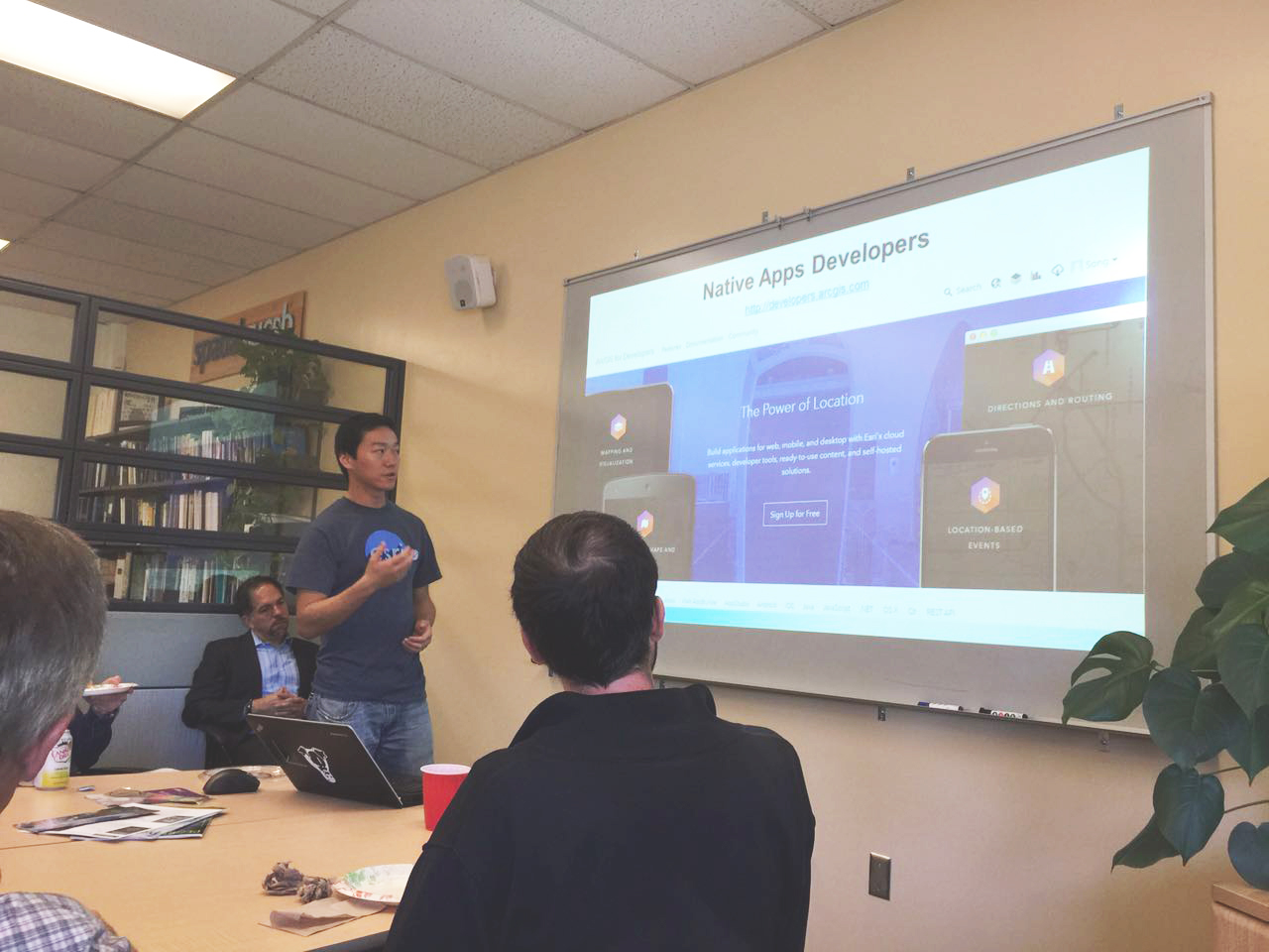
- Talk I: “Cross-platform GIS Mobile Apps Development in Practice.” Presenter: Song Gao, PhD Candidate in GIScience & Esri Campus Ambassador. Abstract: AppStudio for ArcGIS lets you build Mapping Apps that run natively across multiple platforms: OS X, iOS, Android, Windows Phone, and Linux. In this presentation, you will learn how to build your own Apps, using the different GIS App Templates available within 10 minutes. No programming experience is needed for this talk.
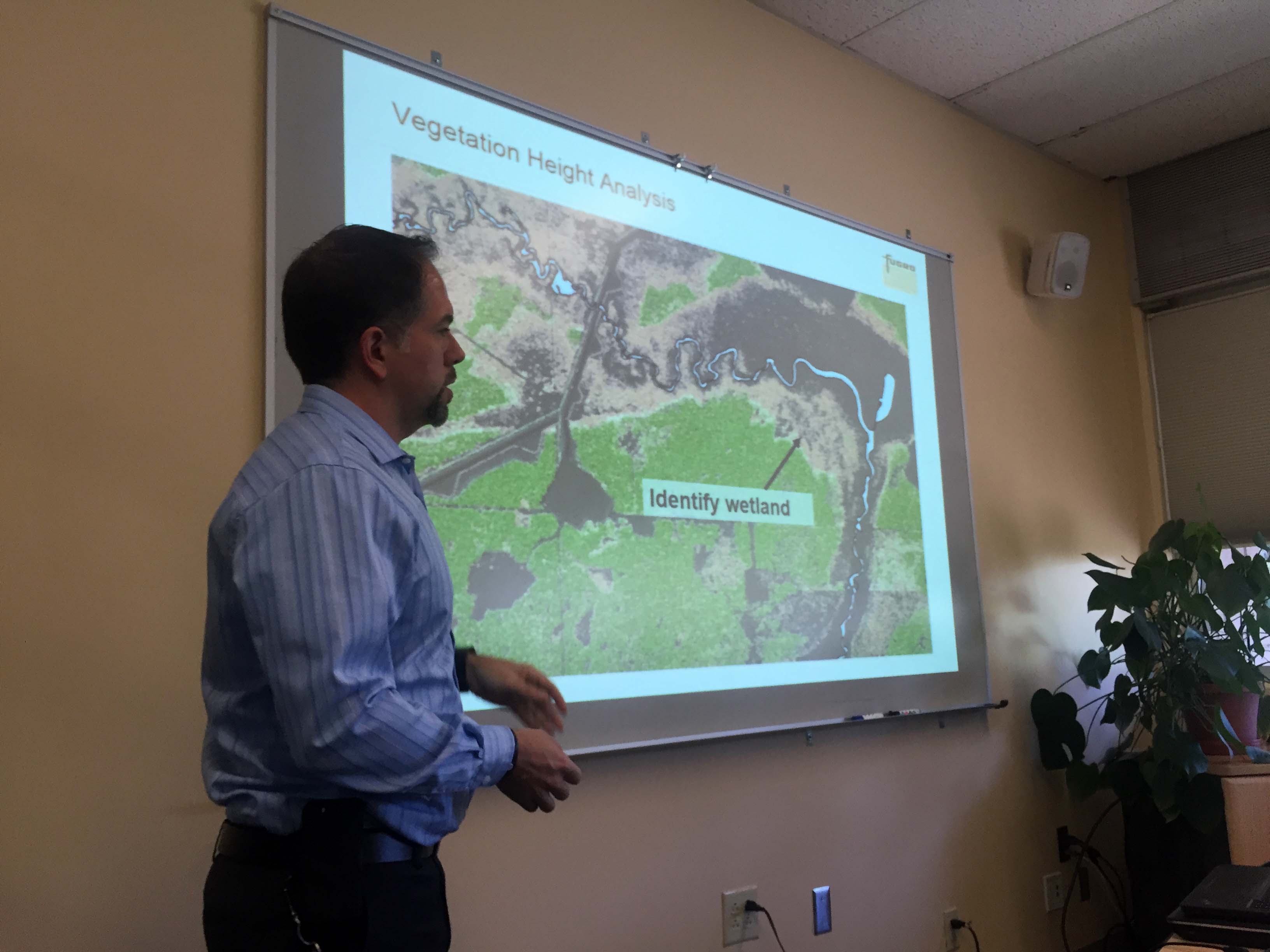
- Talk II: “Using Laser Scanning Technology to Monitor Coastal Erosion and Sea-Cliff Retreat in Southern Santa Barbara County, California.” Presenter: Todd Mitchell, Director of The Pacific Southwest Chapter of ASPRS. Abstract: Establishing sea-cliff erosion rates is a vital component of coastal zone management. Laser scanning technology can provide a fast, reliable, and accurate means to survey sea-cliffs covering large areas of the coastline and to establish local erosion rates. The technology allows for the rapid laterally continuous survey of sea-cliffs with Dynamic Laser Scanning (DLS) and Light Detection and Ranging (LiDAR) surveys. Data collected from DLS and LiDAR surveys for southern Santa Barbara County were compared in a Geographic Information System (GIS).
Editor’s note: Hats off to Song Gao for organizing this terrific event and for providing commentary and photos for this article.