The following article is courtesy of UCSB graduate student Kate Voss (dated April 29, 2015):
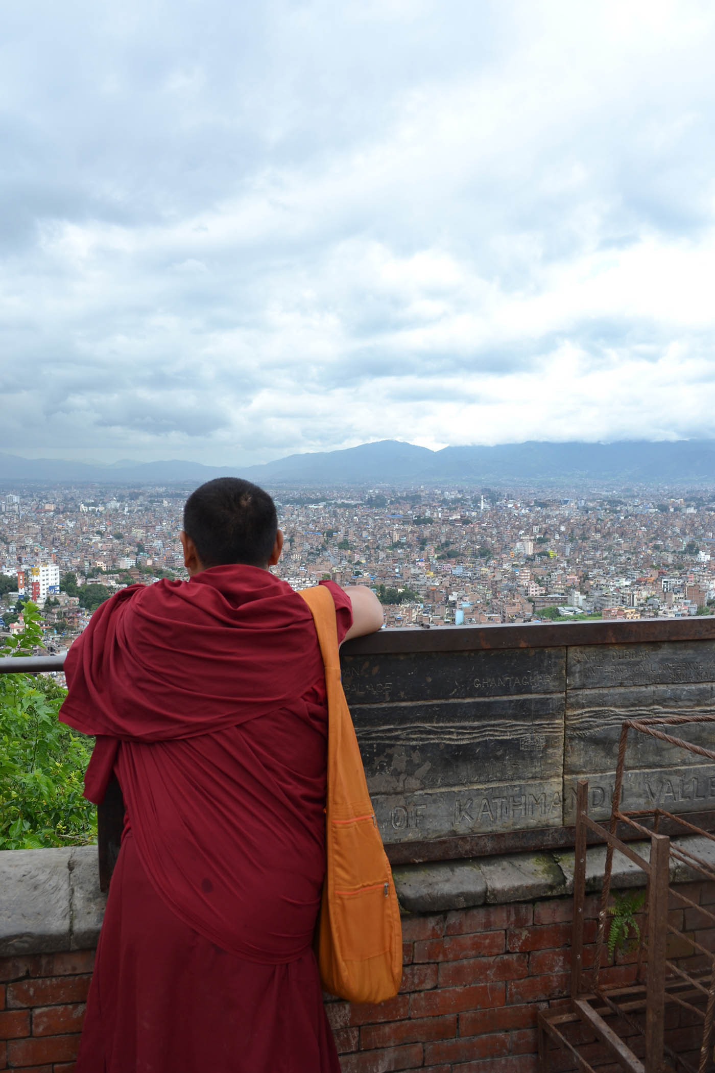
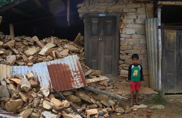
On Saturday, 25 April a 7.8-magnitude earthquake hit Nepal, the Himalayan nation between India and China. The country is known for its hospitable and generous people, beautiful cultural heritage sites, and, of course, high mountain scenery. The quake resulted in massive infrastructure damage in Kathmandu and the surrounding rural areas. Entire villages have literally vanished under boulders and rocks from landslides. The loss of human life is equally staggering. Current death toll numbers exceed 5,000 and will only continue to rise as more of the destruction is uncovered in the urban centers and, more importantly, in rural villages.
Before the quake, Nepal was already challenged with limited infrastructure and access to basic services, particularly in regions outside of the Kathmandu Valley. Now, these limitations will magnify the struggle for aid and relief agencies to meet the basic needs of the survivors and begin rehabilitation in the extremely isolated, rural areas of Nepal as well as densely populated KTM. With its maze of narrow roads and brick buildings, parts of Kathmandu are now a jumble of rocks and paths leading to nowhere. Even worse, the already isolated rural regions are now completely cut-off from access to transport and relief services because the narrow dirt walking trails used to navigate the mid- and high-mountain regions are now landslide zones.
In light of the earthquake, several social media and mapping technologies have emerged as key resources to connect family, provide up-to-date information about aid resources, and to direct relief missions. Both Facebook and Google instituted a “people finder” app that allowed users to mark themselves or others as “safe”. These tools provided critical information about the security of friends and family, but also references for missing persons. On the mapping side of things, Kathmandu Living Labs and Open Street Maps are developing real-time maps to identify and locate destruction in Kathmandu as well as locations to access first aid medical attention, food, and water. Finally, on a larger scale, Digital Globe released high-resolution WorldView imagery for public use (normally these scenes are available for a fee) in an effort to map landslides and infrastructure loss over larger spatial regions. Combined, these tools have proved critical in aid and relief efforts for both the urban population in KTM and rural regions hit hardest by the earthquake.
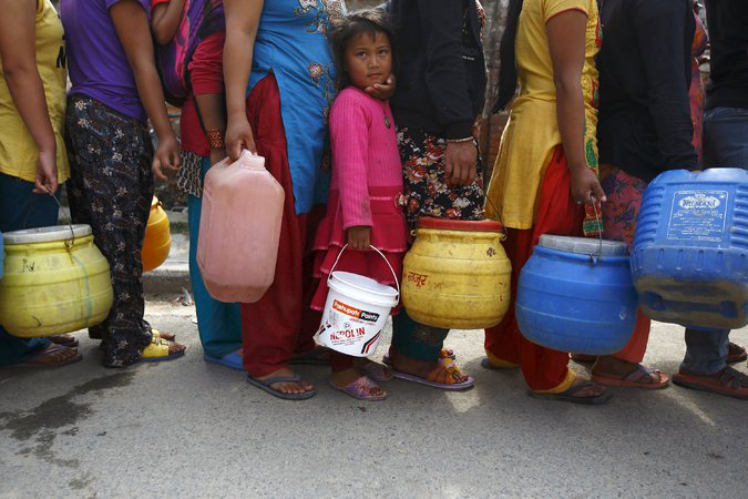
We are now 5 days after the earthquake and the dust is still settling. Relief assistance reached many of the rural villages only in the past 24 hours. Food, water, and fuel resources in Kathmandu are tight. The next few weeks will prove critical as local and international organizations attempt to meet the immediate demands of survivors and thoroughly assess the destruction of infrastructure and loss of life. In the long-term, Nepal has a long and arduous road ahead. Tens of thousands are estimated to be homeless. There was limited transportation and civil infrastructure before the earthquake, and many of the inequalities related to access to food and clean water will only be exacerbated by the earthquake’s impact. Nepal has a long history of patience, generosity, and optimism, and these traits will be pushed to their limit in the years ahead.
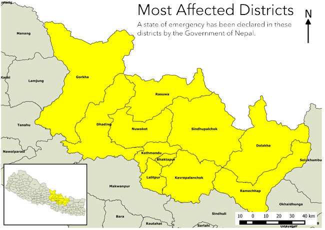
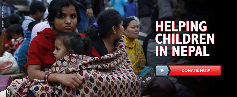
For those interested in supporting relief efforts, it is important to consider both the immediate emergency needs of the country as well as the long-term rebuilding. Additionally, much of the attention in the media has been focused on Kathmandu and Everest regions, but the areas that are truly in need are the isolated communities in rural Nepal. Large humanitarian organizations that already have boots on the ground: the International Federation of the Red Cross and Red Crescent Societies, Oxfam, Global Giving, and Doctors Without Borders are a good place to start immediately. In the long-term, reconstruction efforts with local, smaller organizations will offer the most direct support for isolated and rural communities. Some of these organizations include: the dZi Foundation, Educate the Children, iDE, and the American Himalayan Foundation. There are many, many more organizations that do fantastic work as well. Yet, before donating, it is critical to do research to understand (1) exactly where the money will go (how much overhead; to rural versus urban regions) and (2) what the goals of the money are for in terms of immediate relief versus long-term recovery.
For additional information, questions, clarifications, or up-to-date information, please feel free to contact Geography Ph.D. student Kate Voss (katalynvoss@geog.ucsb.edu). Thank you and namaste.