“Space may be the final frontier of exploration, but there’s plenty of Earth left unmapped too — from the giant canyon recently discovered beneath Greenland to American waters that have been left largely unexplored. But that’s quickly changing, thanks in part to Bob Ballard’s latest project.”
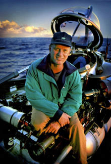
Kelsey Campbell-Dollaghan, a science writer for Australia’s Gizmodo.com, elaborates further on a National Geographic article titled “Discoverer of the Titanic Is Mapping Underwater America”: “According to National Geographic, Bob Ballard — who you may know as the discoverer of the Titanic — has embarked upon a 10-year project to map the coastal waters of America. Haven’t we already mapped all of that? you’re probably asking. Actually, not quite.
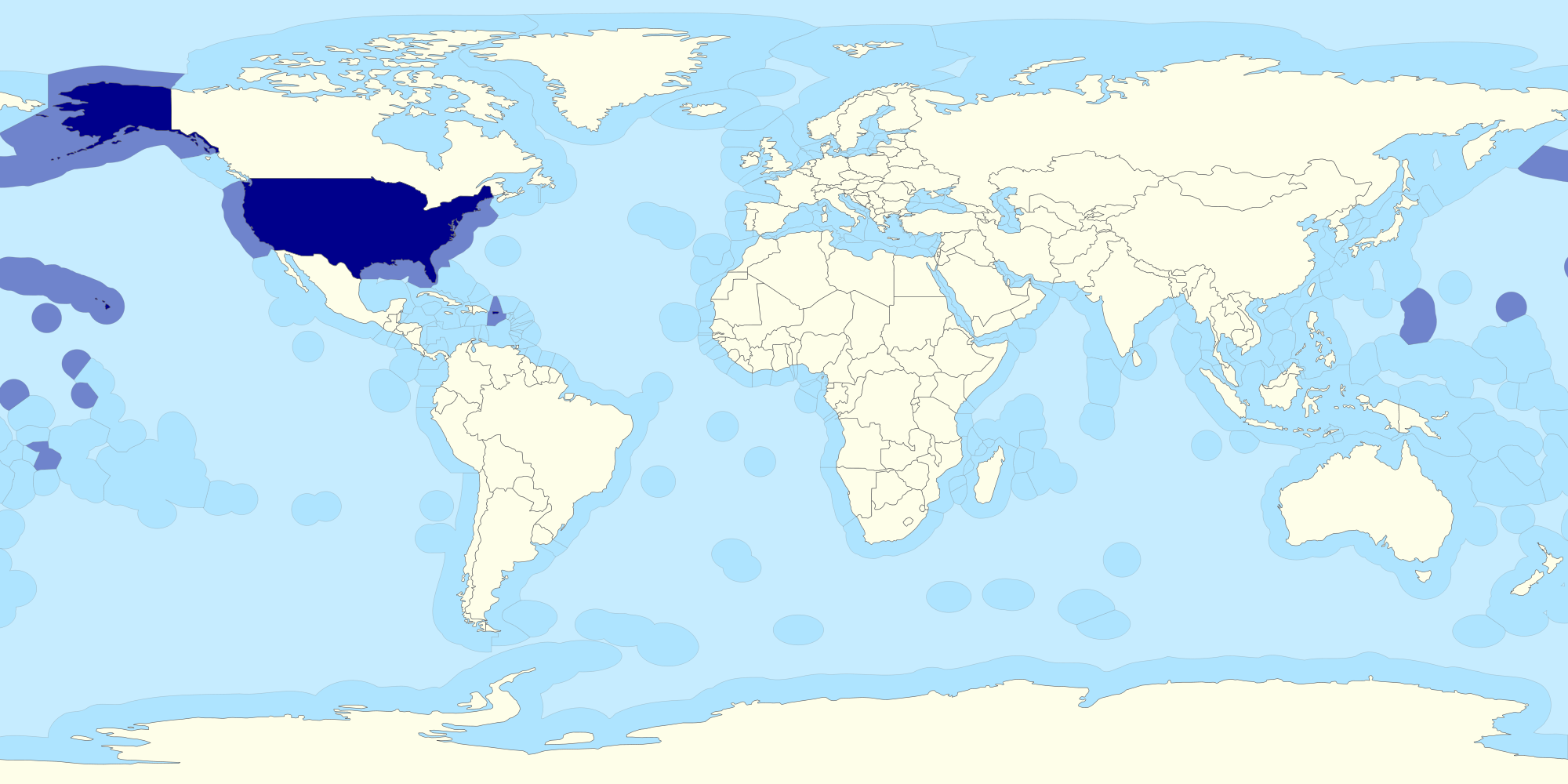
In 1982, the UN established a concept called the Exclusive Economic Zone, which gave countries the exclusive rights to control the sea along their borders up to 320 kilometers (200 nautical miles) from shore. Ronald Reagan adopted the convention in 1983, and nearly doubled the area of America by extending sovereign rights to include the EEZ around America’s coastlines (a bit like Jefferson did, but with water instead of land). But not much has happened since then — which is where Ballard comes in.
In a story in the November issue of National Geographic, Ballard explains how he’s mapping every nook and cranny of the seabed that falls within America’s EEZ — from shipwrecks to 1524m deep brine bowls. And, to do so, he’s using a technology that was long-classified by the US Navy.
According to Ballard, the nine-ton multibeam echosounder was crucial during the Cold War, when it was developed in collaboration with General Instrument — the early semiconductor company that Donald Rumsfeld ran before its closure in 1993. Strapped to the bottom of a large, slow-moving ship, this special system acts as a giant sonar map-maker, creating a four-mile-wide topographic map in real time as the ship sails. Ballard explains:
‘Think of it as a lawnmower. It’s a big, monstrous, nine-ton sonar that’s attached to bottom of the ship. It sends out a signal like a fan, and then the signal hits the [ocean] bottom and it comes back up. It can digitize and produce a topographic map in real time at full speed, which for us is 12 knots, and the area that the lawn mower is cutting is seven kilometers wide. You see everything in great detail. It’s like someone turns on the light and you can see the mountain ranges, you can see the volcanoes and the calderas, you can see river patterns.’
Though the actual reason this system was developed is still classified, the technology itself is now declassified — which means Ballard can use it (‘I’ve been after this sonar forever,’ he says). The project is just beginning — so keep your fingers crossed the next giant underwater canyon shows up off of the Connecticut coast.”