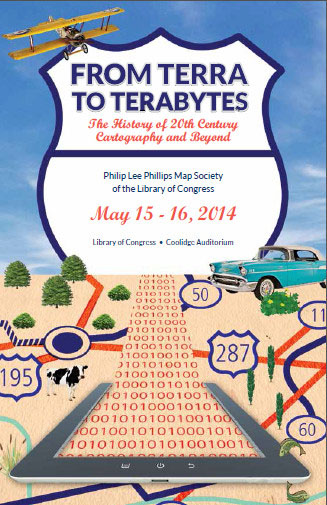
UCSB Geography Professor Keith Clarke has been invited to present his paper, “The Missing Decade of Remote Sensing History: Corona and the Late 20th Century” at the Philip Lee Phillips Annual Conference of the Map Society of the Library of Congress. The conference, “From Terra to Terabytes: The History of 20th Century Cartography and Beyond,” will be held in the Coolidge Auditorium of the Library of Congress in Washington, DC, on May 15 – 16, 2014, and Keith will present his paper in Session 2 of Day 1, “Military and Intelligence Cartography” (Ryan Moore, Moderator).
Abstract: “The CORONA program and its successors mapped much of the world using remote sensing technology well before it became better known after Landsat 1 in 1972. Using a film return system and a scanning stereo panchromatic camera, CORONA was capable of high geodetic fidelity, and repeat high resolution imagery. CORONA ran from 1958-1972, but was not declassified until 1995. Using six generations of cameras, the program produced over 800,000 images from space on 2.1 million feet of film. More important, the program revolutionized mapping, positioning and the automated processing of map data. In this presentation I will briefly survey the program, highlight some of the least well known elements, and elaborate on the landmark achievements of the program for world mapping and mapping technology since.”
“The Philip Lee Phillips Society Map Society of the Library of Congress has been established to further develop, enhance and promote the collections of the Geography and Map Division by encouraging financial donations to supplement appropriated funds for the acquisition of rare maps; stimulating interest among map collectors, map producers, geographers, cartographers, and historians in order to make the vast resources of the nation’s premier cartographic and geographic collections more widely available; facilitating gifts and bequests of significant geographic and cartographic materials in order to further develop its collections; and advancing the Geography and Map Division’s publication, education, and exhibition programs. The Society is named in honor of Philip Lee Phillips (1857-1924), the first Superintendent of Maps when the Hall of Maps and Charts was established in 1897” (source).


