Forget so-called “reality TV” – NOAA’s deep sea live video coverage is the real deal. As of 0900 EDT today, NOAA’s remote operated vehicle was in Lydonia Canyon off the Northeast coast of the U.S. The dive began at 1250 meters and worked along a similar depth as it explored the steep western wall of the canyon until its planned recovery at 1630 EDT. Check out the live video coverage of the Northeast U.S. Canyons Expedition 2013 which goes on until August 17.
“From July to August 2013, a team of scientists and technicians both at-sea and on shore will conduct exploratory investigations on the diversity and distribution of deep-sea habitats and marine life along the Northeast U.S. Canyons and at Mytilus Seamount, located within the U.S. Exclusive Economic Zone. The 36-day expedition is composed of two cruise ‘legs.’
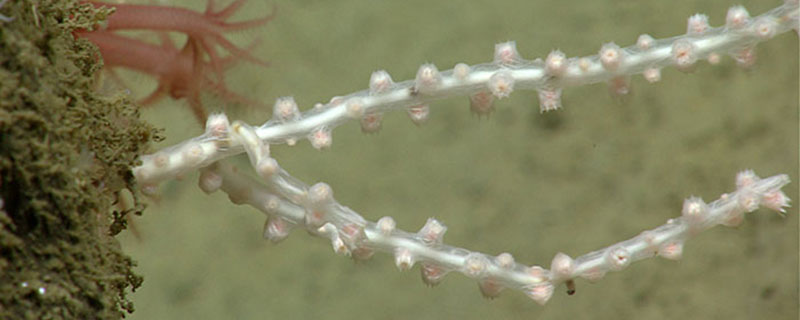
The exploration area for this community-driven expedition was identified based on the discussions and information stemming from the May 2011 Atlantic Basin Workshop and priority area input received from other NOAA programs and the management community. Using this input, and data acquired during previous Atlantic Canyon Undersea Mapping Expeditions (ACUMEN Project), NOAA and the broader science community have identified a number of exciting targets to explore during the two cruise legs, commencing the next steps in systematic exploration. In the coming weeks, we expect to explore cold seeps, deep coral communities, undersea canyons, landslide features, and a seamount.
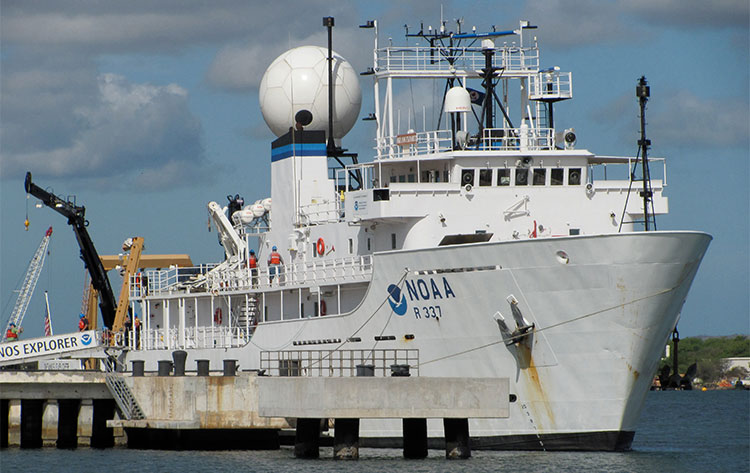
The expedition also marks the first time NOAA’s new 6,000 meter remotely operated vehicle (ROV), Deep Discoverer and the Seirios camera sled and lighting platform will be used to in a full telepresence-enabled ocean exploration with NOAA Ship Okeanos Explorer. When these systems are deployed from the ship, we will be able to provide scientists and the audiences onshore with real-time video footage from deepwater areas in important, yet largely unknown, U.S. waters” (Kelley Elliott and Brian Kennedy, Expedition Coordinators, NOAA Office of Ocean Exploration and Research; source).