The American Society of Photogrammetry and Remote Sensing (ASPRS) awards the Robert N. Colwell Memorial Fellowship annually in order “to encourage and commend college/university graduate students at the PhD level who display exceptional interest, desire, ability, and aptitude in the field of remote sensing or other related geospatial information technologies, and who have a special interest in developing practical uses of these technologies. The Award is made to a graduate student (PhD level) currently enrolled or intending to enroll in a college or university in the United States or Canada who is pursuing a program of study aimed at starting a professional career where expertise is required in remote sensing or other related geospatial information technologies” (source).
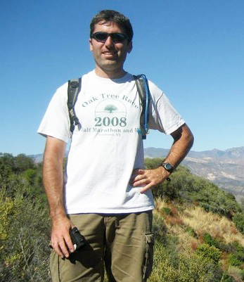
UCSB Geography graduate student Mike Alonzo is this year’s recipient of the honor which includes a check in the amount of $6,000 and a one-year student or associate membership (new or renewal) in ASPRS. Applicants are chosen on the basis of remote sensing or other related geospatial information technology courses taken; grade point average; work, research, publishing, and teaching experience related to the field; letters of recommendation; and statements of research goals relating to remote sensing, or other related geospatial information technologies and the applications of these technologies for mapping, monitoring and/or assessing land (including coastal) resources and helping solve land resource planning or management issues (Ibid.).
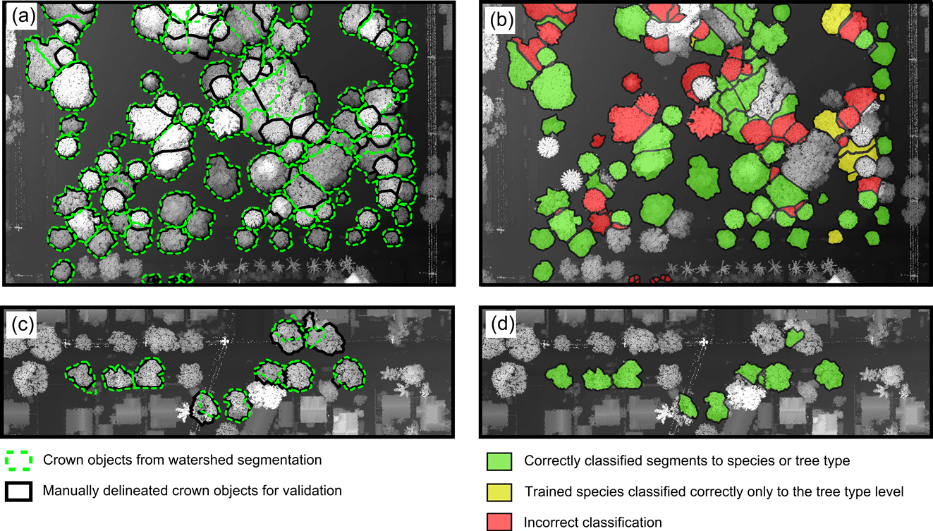
Mike was an outstanding candidate in terms of all the criteria listed above, but he feels that one of his strongest points may have been his publication of an article (with Keely Roth and Dar Roberts) in Remote Sensing Letters and pending publications in other journals relating to classifying trees in an urban area: “This would make Colwell happy because it is quite applied. In this paper we classified 15 common Santa Barbara urban tree species with 86% accuracy using imaging spectroscopy (AVIRIS sensor). In a paper that builds on this paper (Remote Sensing of Environment, in revision) we classify 29 common species with 83% accuracy using fused imaging spectroscopy and lidar data.” Other obvious strong points include Mike’s previous job in urban forestry at the DC non-profit, Casey Trees, and the fact that he helped to found and became the first president of a UCSB student chapter of ASPRS (Shane Grigsby is the current president).
Last but not least was Mike’s statement of research goals, especially in relation to practical applications. To quote the wordsmith: “As an eight year old, I peered out the airplane window over Newark, New Jersey, fascinated by the changing mix of green and gray in the landscape (and the big trucks on I-80). Over time the fascination grew into a passion for studying and engaging with urbanized landscapes in the context of both mapping and environmental management” … “While at 34, I’ve moved beyond counting trucks, I still book the window seat on flights to monitor the changing landscape. I now live in Los Angeles, so every flight climbs to altitude over an enormous and sometimes depressing urban patchwork. The enormity reaffirms my belief that effectively measuring the urban environment in a place like L.A. can only be done using remote sensing tools. The sometimes bleak view motivates my work to give policy makers and citizens the spatial information they need to create more livable and sustainable neighborhoods.”
Presentation of Mike’s award certificate will take place during the ASPRS 2014 Annual Conference in Louisville, Kentucky at The Galt House Hotel on Tuesday, March 25th at the Awards Luncheon from11:30am to 1:30 pm. Well done, Mike!