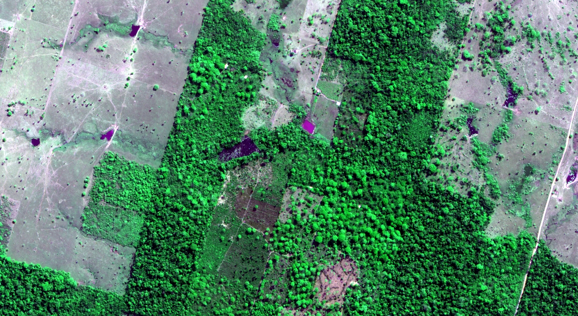
Graduate Student Michael Toomey was one of the winners of Digital Globe’s 8-band Challenge. Digital Globe, a commercial satellite products company and one of the main purveyors of Google Earth base imagery, launched the competition this summer to promote the diffusion and use of their newest 8-band (5 visible, 2 near infrared and 1 “red-edge” band) hyperspatial (0.5m multispectral/2.0m panchromatic) imaging platform, WorldView-2 – the only one of its kind (for more information). The reward was 100 km2 of imagery and will be entered into a small pool to compete for financial support to attend the 2011 Geospatial World Forum in Hyderabad, India.
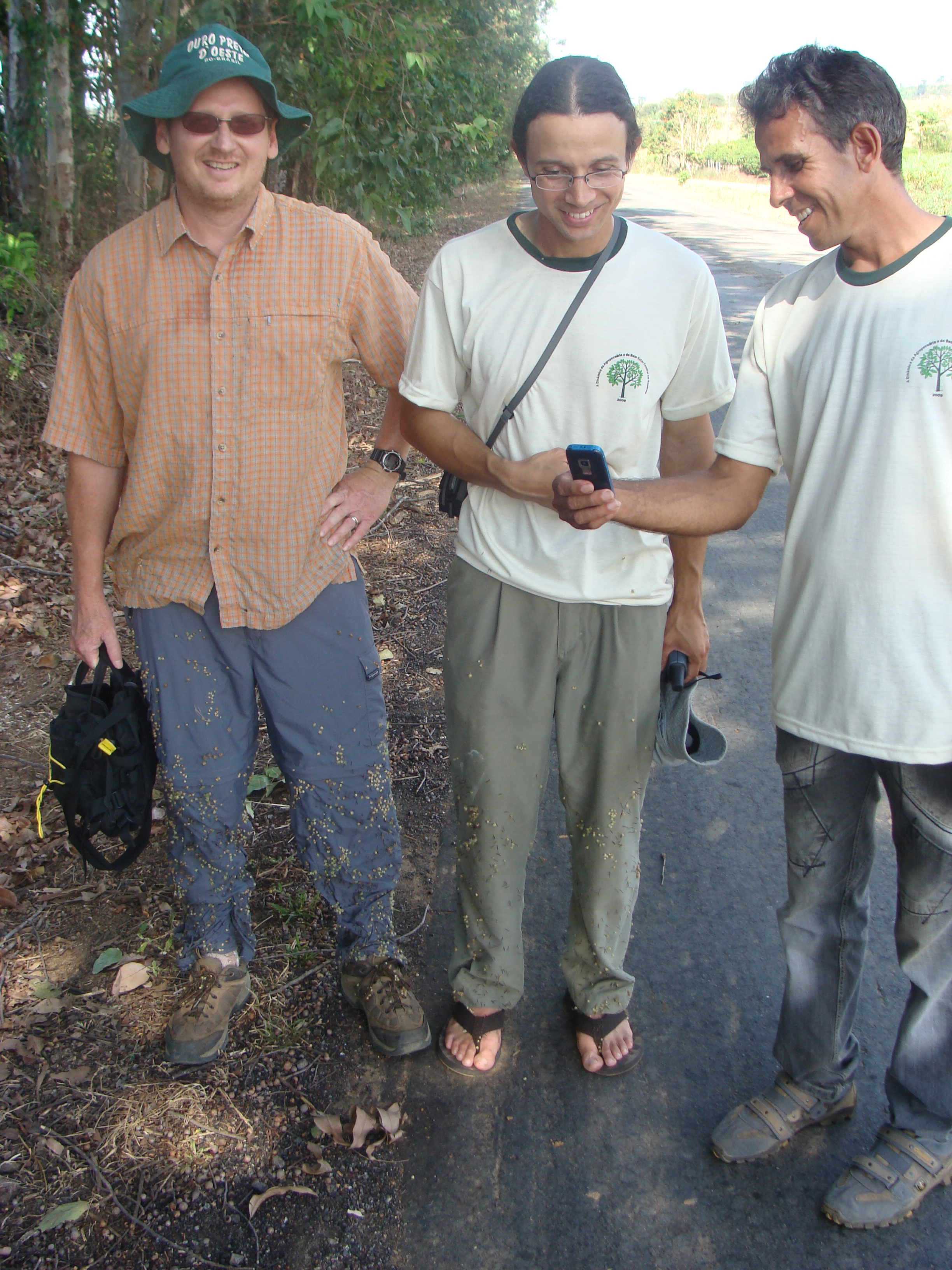
Michael’s proposal, “Enhanced detection of smallholder crops along the Amazonian frontier,” is an extension of his PhD research that he is conducting as a member of the Visualization and Image Processing for Environmental Research (VIPER) lab (see their fancy new web page!). This research is a continuation of long-term UCSB involvement in tracking land cover and land use change in southwestern Brazilian Amazonian state of Rondônia. This work began as a research objective of the Large-Scale Biosphere-Atmosphere Experiment in Amazônia (LBA), an international research collaboration in the late 1990’s and early 2000’s to conduct extensive studies of Amazonian ecology and its effect on regional and global climate. This work has continued to 2008-2011 as a smaller collaboration with a team of economists from Salisbury University and North Carolina State University. One of the project’s goals is to construct a 27-year annual land cover time series of the Rondônia state and introduce agricultural land cover classes to the imagery archive. To perform the latter task, Michael conducted field work in Brazil in July 2009 to collect ground reference data for annual and perennial crops. The work consisted of running around tropical rangelands with a machete and GPS, speaking bad Portuguese to puzzled farmers, and drinking several liters of Brahma each night to replace lost fluids. Michael will be using the new imagery to complement the Landsat-based imagery which forms the underpinning of the current methodology.
Regarding his research, Michael states: “I am fascinated by most aspects of environmental science – both the physical and human aspects. But that description is not entirely helpful. Specifically, I primarily use geographic tools, satellite remote sensing, and Geographic Information Systems to study terrestrial systems. Some recent, developing research will also incorporate micrometeorology data – records of customary weather variables (e.g., temperature, humidity, precipitation) as well as energy and gas exchanges between the land and atmosphere (e.g. CO2, latent heat).” For more about Michael’s research, teaching, and curriculum vitae, check out his web site here.
Editor’s note: Many thanks to Michael for providing the vast majority of the text and all of the photos and captions for this article.


