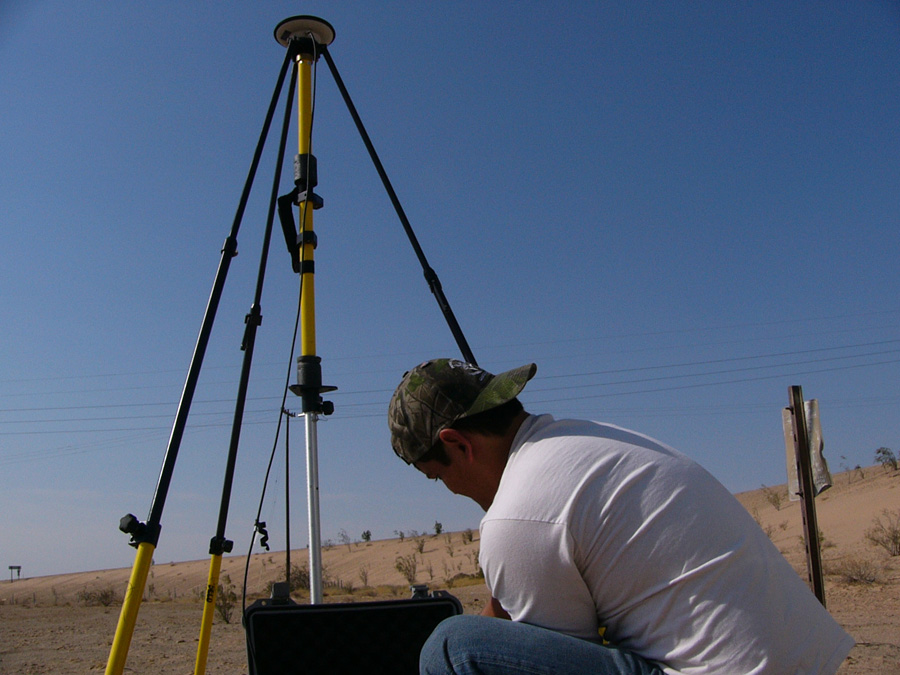
Alumnus G. Andrew Fricker (BS, 2005) recently sent a brief description of his life and career since being accepted into the UCLA Geography graduate program:
“While attending UCSB Geography, I also held a part-time position in the Davis Lab at the Bren School helping with small research tasks and web design. After graduation, I moved to San Diego where I was employed as the GIS technician for the Soil Ecology and Restoration Group (SERG). I used GIS to map numerous restoration projects in the Southern California area, as well as managing two restoration projects on Marine Corps Air Base Miramar.
I am currently a second year grad student at UCLA in the Geography Department and also work as the Director of Quality Assurance and Quality Control (QAQC) at Airborne 1 in El Segundo, CA. Airborne 1 is a leader in the LiDAR industry, providing LiDAR solutions to numerous entities, public and private, worldwide. I am currently using large footprint lidar to study biodiversity and forest stand characteristics in the moist tropical rain forests of Panama. My research interests are lidar, remote sensing, forestry, and conservation biology. I am planning on focusing my dissertation research on setting up possible validation sites for the next generation orbital waveform lidar sensors, as well as integrated different forms of remote sensing, particularly active systems for conservation biology research.
If you have any more questions or need any LiDAR data, let me know and I’ll see what I can do, I’ve got to pay back UCSB for all the street credit they’ve given me. Being from UCSB Geography has gotten me where I wanted to be, and I hope to work closely with the department in the future.
P.S. If you download the .kmz file from this website you can view our spatial data warehouse. It’s growing by the day, and we’ve incorporated numerous entities into the fold to resell and reprocess lidar data from other sources. Have a look; it’s the largest lidar data source in the world so far: ;


