(The following contribution is the result of some gentle persuasion by Bill Norrington, a recent visit from Dar Roberts, and some guilt from reading a lot of inspiring stories on the Geography News Pages and not contributing one of my own.)
I was the first student to make it through the Joint Doctoral Program with SDSU, 1992-1997 (although I wasn’t the first to start). I’m currently a Professor of Geography at the University of Queensland in Australia (www.uq.edu.au), and I run a research centre (ww2.gpem.uq.edu.au/crssis) with a focus on remote sensing, spatial analysis, and spatial ecology. I gained a huge amount from my time at SDSU and UCSB; it’s responsible for my career and my family (my wife, Amy Bortman, is a UCSB and SDSU graduate). I love what I do at work, and a lot of that has a basis in what I learned in the Joint Doctoral Program.
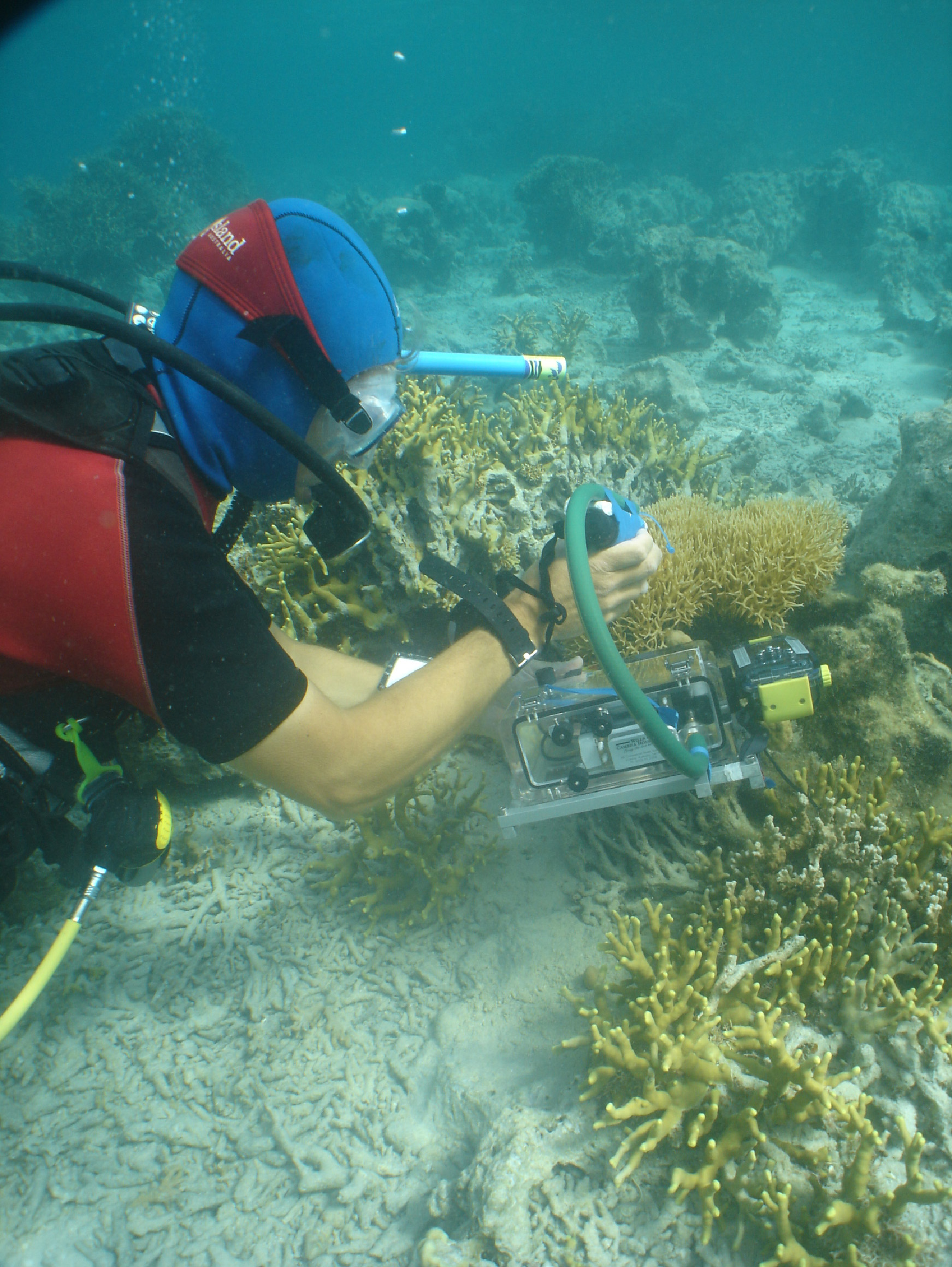
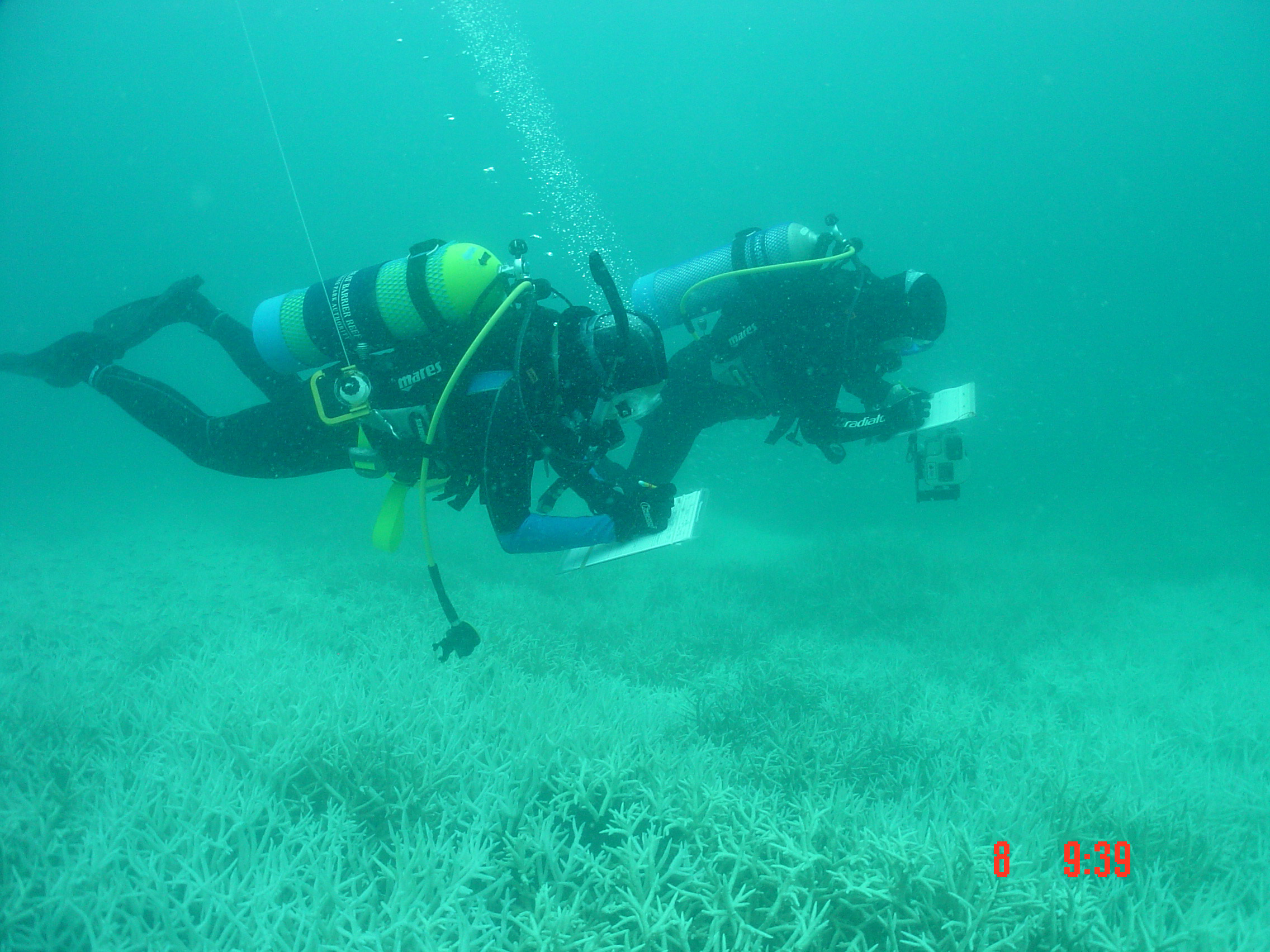
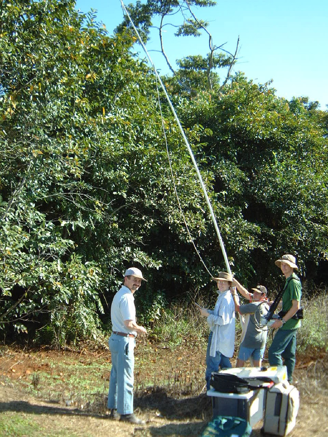
I’m currently the director of the Centre for Remote Sensing and Spatial Information Science (CRSSIS – not the best name, but people remember it!), and the operating principles for this job, sharing accumulated knowledge and skills, go back to what I learned while getting through the JDP and working with other PhD and MA students. I did learn a huge amount about good science from my advisors Doug Stow and Janet Franklin (both UCSB PhDs as well), as well as Leal Mertes, Joel Michaelsen, and other people I had memorable classes with, such as Dar Roberts and David Siegel. I’ve continued to work in biophysical remote sensing, as I love the combination of field work, technical mathematical and computer work, and providing solutions for government agencies or private companies. Most of my group’s work is with government agencies at all levels in Australia, ranging from local to state and national levels. We develop approaches for using satellite image data and field data to monitor changes in various environmental properties. The approaches developed then become part of operational/legislated activities used by governments to understand and manage certain environments or extractive industries. At a local level this has included mapping individual trees, weed locations, and urban energy exchanges for the Brisbane City Council, and, at state levels, we have helped to build and validate programs for mapping various vegetation properties, using an annual mosaic of Landsat TM/ETM imagery, and we are now using this approach to develop techniques for correcting and processing the full Landsat archive, 1972 – present, over individual scenes and all of Australia. Nationally, we have just finished Australia’s first National Earth Observation Plan, and I am currently leading the implementation of TERN (Terrestrial Ecosystem Network), a $55 million investment in building a program similar to the NSF’s LTER network and NCEAS. Our other specialty areas are environmental monitoring applications for coral reefs and seagrasses in Australia and the South West Pacific, object-based processing of high spatial resolution image data, and long-term time series image analysis. All of our projects involve very close collaboration with scientists in other disciplines, as well as resource managers and policy analysts – so good communication is a key!
Our research centre currently has 5 academic staff, 6 postdoctoral fellows, and 23 PhD students, spanning remote sensing, spatial analysis, and landscape ecology. The centre works on the principle of shared and accumulated knowledge and skills. This allows students and staff to work in an environment supportive of research training, and it also enables us to operate a unique set of field equipment and processing facilities and to access significant state and national image archives. Students are able to address higher level questions and receive appropriate discipline-specific training, general scientific training, and direct links to their professional groups using this approach. This is a bit different to what was (and still is, in some places) the archaic Australian approach of being locked in a room for three years to do “research” and then being expected to miraculously produce a PhD and know how to teach and do research at the end of it!
My UCSB/SDSU experience definitely shaped where I am now; I was fortunate to have a Fulbright scholarship to get into the program. If you are keen on coming to Australia (the exchange rate is still good!), this is a good option for students and staff. I did find what inspires me while doing my PhD studies – that was great – and getting a family and becoming (more) seriously addicted to surfing and paddle-boarding was an added bonus – so it was definitely worth it.
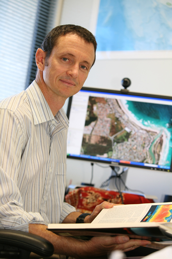
Stuart Phinn (Professor); Centre for Remote Sensing and Spatial Information Science; School of Geography, Planning and Environmental Management; The University of Queensland; Brisbane, Queensland, Australia, 4072; Ph: 61-7-33656526, Mobile: 0401 012 996, Fax: 61-7-33656899. Email: s.phinn@uq.edu.au; Web-page: http://ww2.gpem.uq.edu.au/CRSSIS/.