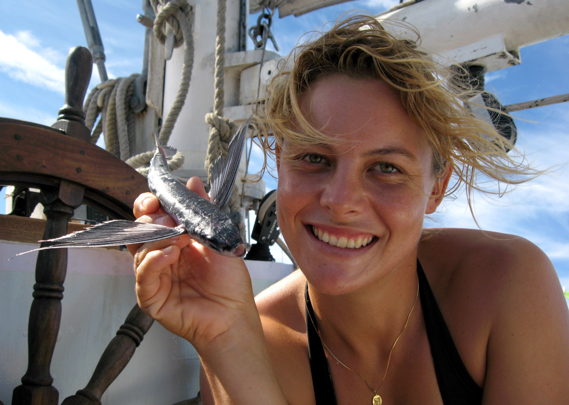
Geography grad student Kitty Currier is into flying—flying by plane, flying fish, and even flying kites:
“You can never step into the same river twice – so goes the wisdom of Heraclitus. This thought has lurked in the back of my mind for several months, ever since plans were finalized that will land me on a sailboat in the South China Sea for two months this summer. Departure date imminent, I’m checking off items on my packing list: sunscreen, SCUBA gear, camera…kite.
I’m headed to the Anambas Islands, a small Indonesian archipelago northeast of Singapore. My first visit was in late 2006 as an officer aboard SV Infinity, the floating home base of the nonprofit organization, Planetary Coral Reef Foundation (PCRF). This was one of many stops that I was fortunate to make throughout Southeast Asia and the South Pacific aboard PCRF’s sailing vessels. At each stop we conducted monitoring assessments of the local reefs, investigating the condition, abundance and species richness of fish, coral and other invertebrates.
When the opportunity arose to once again join PCRF for a site study in the Anambas Islands, I jumped at it. Some of the data collection will be the same, but this time we’ll be looking at reefs from above as well as below the water’s surface. To supplement the SCUBA-based observations, I’ll try my hand at kite aerial photography for a different perspective.
Kite aerial photography, or KAP, has been practiced since the mid-1800’s, according to the website of one avid KAP’er. It was widely used for scientific surveys, military surveillance, and general observation of the earth’s surface before other remote sensing methods were available. Elaborate trains with multiple kites were sometimes used to hoist photographic equipment weighing as much as 65 pounds.
After interest declined during the mid-1900’s, KAP re-emerged in the 1970’s and 80’s as a popular hobby. Gone are the days of gargantuan rigs and shutter releases triggered by small explosives; KAP has become much more accessible to the lay person, thanks to pocket-sized digital cameras and battery-powered servos. Recently, it has been used to document the effects of the Deepwater Horizon oil spill, map archaeological sites, monitor clean-up efforts at a Superfund site, observe humpback and gray whale behavior, and generate digital elevation models. (Read more at the website of the Public Laboratory for Open Technology and Science.)
My goal is to collect images of reefs and islands. I’m investigating the utility of KAP as a relatively inexpensive means of generating high-resolution aerial imagery to document reef extents, as well as the presence of garbage that washes up on beaches. Sadly, though the Anambas Islands are sparsely populated, its beaches collect refuse originating from miles away. Not only individual pieces but carpets of trash cover many areas.
Barring unfavorable weather conditions, catastrophic equipment failure, or sluggish Internet connections, my next correspondence will arrive with some self-collected aerial photographs. Wish me luck!”
Editor’s note: Thanks to Kitty for this delightful article; we certainly wish her luck and look forward to her next correspondence, with or without KAP!