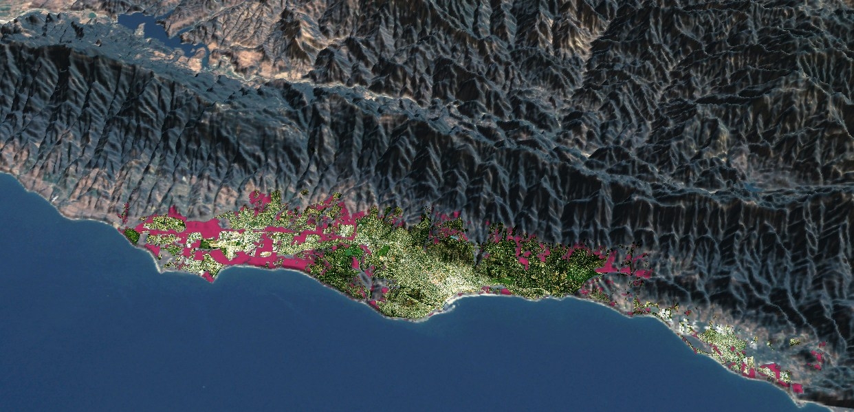
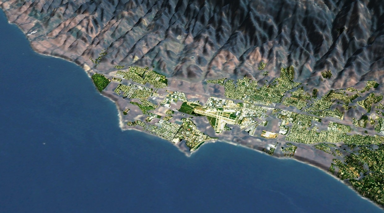
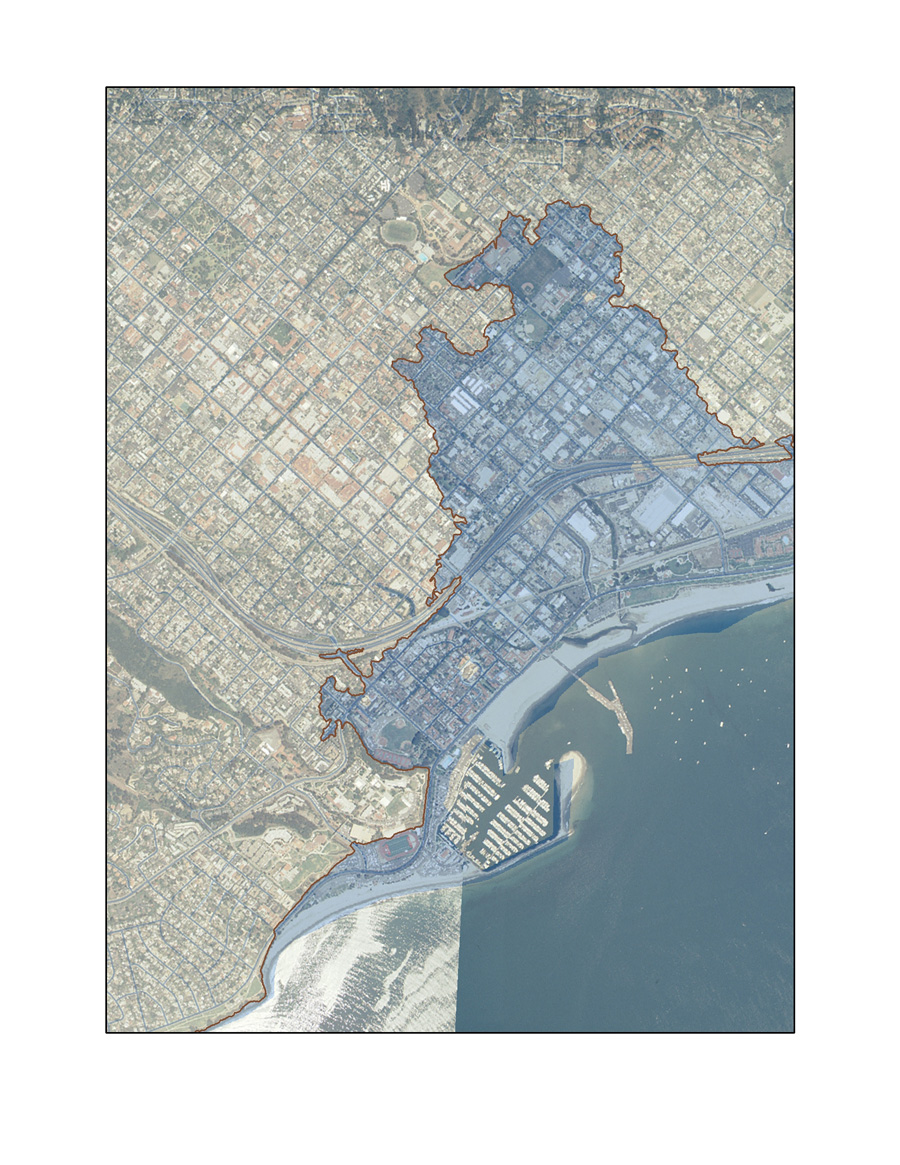
Professor Keith Clarke recently gave a UCSB Affiliates Science Lite public lecture titled “The South Coast Regional Impacts of Growth Study Six Years Later,” in which he outlined a series of possible scenarios relating to the development of Santa Barbara over the next 30 years. The title of his presentation was an allusion to the “Regional Impacts of Growth Study” (RIGS), which included the 2004 Santa Barbara Economic Community Project’s conclusions about the impact of growth on the South Coast. The RIGS study, an update to an influential study conducted in the 1970’s, used simulation models to make projections concerning Santa Barbara’s geography, growth policies, economics, and demography. Dr. Clarke contrasted the RIGS projections of 2004 with today’s actuality and went on to present the likely or possible outcomes of continuing or modifying such policies and trends by 2040.
Dr. Clarke outlined six scenarios for the Santa Barbara of 2040, each dependent upon courses of action taken now. He pointed out that the 1975 Santa Barbara City Council decision to limit city growth was based on the assumption that the quality of life would decrease in proportion to over-development. An unforeseen consequence of this no-growth policy was a huge escalation of housing prices which, in turn, forced many middle and lower class employees to find affordable housing elsewhere and to commute to work in Santa Barbara; and this, in turn, caused highway congestion which increased air pollution.
Clarke considers the “business as usual model,” under which current trends continue unabated, to be an undesirable scenario: “Pretty much what happened for the last 40 years will happen in the next 40 years. 2040 will look like 2000 on steroids. It will look the same, only much worse.” Not only did he predict that congestion and pollution would increase and that population would begin to decrease, he also pointed out that the group Beautiful Santa Barbara Real Estate predicts that, under current growth models, the average price of a home on the South Coast will be $4 million by 2040. Insofar as an average of 1.6 jobs are created for every housing unit built, and insofar as local housing will be unaffordable to the average worker, more commuting will occur, thus exacerbating what is already a vicious circle.
Keith considers the “widespread model,” which would allow unrestricted growth from the beach to the mountains, to be the worst case scenario because it leads to a breakdown of growth management, and does the worst to control commuting, pollution and sprawl. Other scenarios included allowing no growth at all, creating affordable housing in the city, abandoning old zoning principles which limit city areas to single functions, making buildings taller, and taking advantage of green technologies. At the end of the day, “not making decisions is the same as making decisions when it comes to urban planning, and Santa Barbara will have to consider what kind of city it wants to be.” While Keith couldn’t predict which scenario Santa Barbara is headed for, he said that the goal of his public lecture was “to provide accurate information about the possible future, so that the city can take appropriate steps,” and he concluded by commenting that “the key to smart development is adequate planning—we need more planning, not less.”
A specialist in analytical cartography, Clarke has conducted research on environmental simulation and urban growth modeling, and terrain mapping and analysis. He is chair of the National Academy of Sciences’ Mapping Sciences Committee, and recently directed studies on The National Map, a collaborative effort between the United States Geological Survey and other federal, state, and local agencies. He also has worked to produce a NAS report on research priorities at the National Geospatial-Intelligence Agency, which develops imagery and map-based intelligence solutions for United States national defense, homeland security, and safety of navigation.


