UCSB continues to monitor the ongoing Jesusita Fire and suggests the following links for updates relating to university and Santa Barbara County responses to the emergency:
- UCSB website;
- http://www.countyofsb.org/ceo/oes0.aspx?id=2332 Santa Barbara County Website
The Geography Department’s Visualization and Image Processing for Environmental Research Lab, better known as the VIPER Lab, is run by Professor Dar Roberts and is devoted to research on the remote sensing of vegetation, land-use/land-cover change, plant physiology, spectroscopy, and wildfire and fire ecology. One of Dar’s graduate students, Seth Peterson, recommends the following resources regarding the fire:
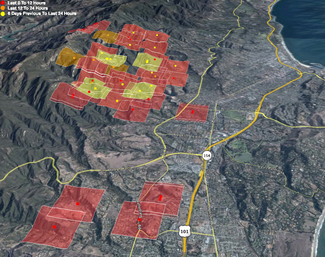
- MODIS active fire detects layed over Google Maps
- twitter feed about the fire
- SB airport weather
- Montecito RAWS weather
- http://www.independent.com/news/jesusita-fire/ SB Independent Jesusita Fire Page
- http://blogs.law.harvard.edu/doc/ Really good blog about the fire
- http://www.wrh.noaa.gov/satellite/?wfo=lox click on western US 1km visible to see the smoke plume
More sites of interest:
- Collaborators (including our own grad Alan Glennon and ex-staffer Mark Grosch) provide a great map of, and commentary on, the fire at http://maps.google.com/maps/ms?ie=UTF&msa=0&msid=113350399174193214844.00046932e9dd96f2e87cd
- Professor Leila Carvalho recommends http://www.icess.ucsb.edu/asr/forecasts.htm for MM5 (mesoscale model) simulations for the region for those who are looking for more information about the evolution of the fire.
- Julie Dillemuth recommends http://edhat.com – lots of updates, esp. in the comments section, which has info and links posted by community members.
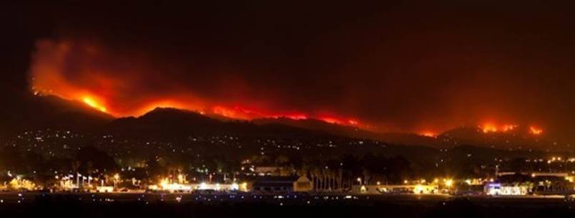
- Some of the most dramatic photos taken can be seen at


