Residents of Beirut, Lebanon’s capital city, often give directions by using landmarks rather than addresses, writes Jenny Gustafsson. This can be confusing for newcomers, especially because some of the landmarks used for navigation no longer exist. The following article was posted at theguardian.com on June 2, 2015 with the title “Mapping, Beirut-style: how to navigate a city without using any street names”:
It’s Saturday afternoon in Beirut and the streets are unusually crowded. A street art event has invited people to one of the city’s old stairways, and a girl at the bottom of the stairs is giving directions over the phone: “You know that small corner shop with the sleeping dog outside? That’s it, I’m here.” She hangs up her phone, sits down and waits beside an old golden retriever that is, indeed, asleep in the sun; her simple directions, a short reference to a neighbourhood shop, apparently more than sufficient.
Try to locate any place in the Lebanese capital and this, typically, is what you will hear: details and places, not the names of streets or their numbers. Whether visiting a friend for the first time or trying to find someone’s office, the best bet is always to find landmarks, not official addresses – they may exist, but probably won’t be of much help anyway, because no one really uses them.
The landmarks, meanwhile, can be of all kinds – from visually imposing buildings such as the war-scarred Holiday Inn or Kahraba Lubnan (the electricity company with a sign that’s never entirely lit up), to popular shops and eateries – less random than the stairway dog, but in equally strategic locations. What’s more, some of these favourite landmarks may have long ago ceased to exist, surviving only as points of reference, such as the old Medina theatre (not to be confused with the new Medina theatre, alive and well but located 20 minutes away). A few years ago, a Lebanese design firm even introduced the idea of grading the city’s landmarks from A-D, with the latter indicating “dead” or “may be removed at any point”, for things like trees or posters.
For newcomers and occasional visitors, of course, such references can mean very little. When he moved to Beirut in 2005, Bahi Ghubril – a Lebanese brought up in London – realised he wasn’t able to go anywhere without getting lost. “So I decided to start mapping the streets. I have mapped things since I was a kid – from playgrounds to processes I’ve worked on. Modern Beirut had not been mapped since the 1970s and, most importantly, the local points of reference had never been marked.”
Ghubril went around each neighbourhood in the city systematically, from Dahiyeh in the south to Dbaye on the eastern coast. His first stop, he says, was always the municipal office collecting taxes and fees from local businesses, since they would know the names of all landmarks. “Then I continued, asking shopkeepers and people sitting on chairs on the pavements. Ten years later, imagine how many conversations have fed into the data we have.”
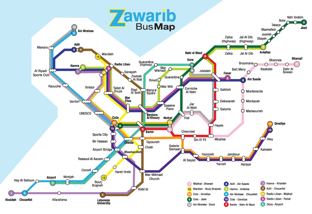
Ghubril’s wayfinding mission soon turned into Zawarib, a company taking its name from the Arabic word for narrow alleyways. It has grown to publish all kinds of atlases and maps – including coverage of Beirut’s NGOs and its informal bus network. “That data was already available from the ministry of transportation, but they never thought it would be useful,” Ghubril explains. “We mapped the buses – but then, of course, you have to find out exactly where to catch them.”
To know that, you must do what people in Beirut already do – ask their way around. Urban dwellers all over the world do the same; indeed, Google Maps took the idea of adding landmarks to maps from its team in India, where winding and unpredictable roads, informal neighbourhoods and a sprawling, makeshift economy make cities highly communicative places. “I know that many Indian tourists prefer to travel abroad in groups for this reason,” says Mumbai resident Preethi Pinto. “They’re used to finding their way by interacting with others, so when they encounter a country that doesn’t offer that interaction, it’s hard.”
Yatin Pandya, an architect from Ahmedabad, agrees the notion of location in Indian cities is highly social and visual, relying on memory and experience. “Addresses are very particular, with detailed references and directions like ‘nearby’, ‘opposite’ and ‘in between’, because roads often have no signs.” Instead they tend to take creative, often literal, names like “The Road with the Oak Tree”. Beirut does the same, says Ghubril. “There’s a street here officially named Baalbek Street, but everyone calls it Commodore Street because of the Commodore Cinema, which doesn’t exist any more – but the Commodore Hotel does, and that helps a bit!”
In fact, this way of navigating may be more logical than it first seems. Research says that when we need to orientate ourselves, we first locate landmarks. They tend to be located at crucial navigation points: a turn around a corner, the crossing of different roads. We then connect the landmarks to each other, creating routes to lead us the right way. Humans function differently: those with a better sense of direction tend to choose the shortest path, even if it’s winding and unfamiliar; others with lower orientation capacity prefer straight roads through open areas.
Maps, when functioning well, become an extension of our knowledge. They can also invite us to see our urban surroundings differently – like the map of Beirut’s scarce green spaces, for example, or the one where tanks and barbed wire visualise the increasing securitisation of private and public areas. Children in marginalised parts of Mumbai, Delhi and Hyderabad have made “social maps”, marking things such as missing trash bins and the lack of toilets.
Sarah Essbai, an urban planner who has worked in the medinas, the old quarters of Arab cities, says that informal and crowded urban places may seem disordered but often are not. “It’s about learning how a city works. There’s usually a very clear order; you just have to understand it. In the medinas there’s a hierarchy between commercial and residential streets, and plazas take their names from the activity that goes on there. Once you know this, navigation is not hard.”
In Beirut that same Saturday afternoon, with new people gathered on the stairs (now painted in bright colours), another person picks up the phone to make a call. She asks the person on the other end: “You know that big dog that always sleeps on the pavement …?”
Editor’s note: This material was featured in the AAG SmartBrief “News for Geographers” for June 4, 2015. You can sign up for these weekly news listings here.
.jpg)
.jpg)