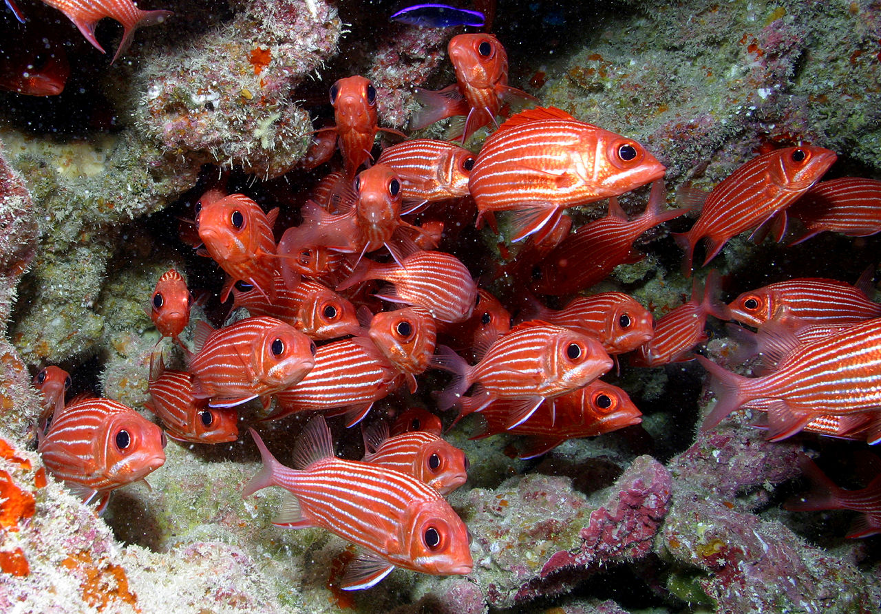
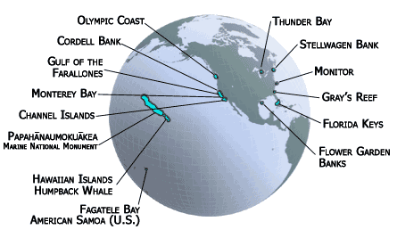
“Papahānaumokuākea Marine National Monument is the single largest conservation area under the U.S. flag, and one of the largest marine conservation areas in the world. It encompasses 139,797 square miles of the Pacific Ocean (362,073 square kilometers) – an area larger than all the country’s national parks combined. The Northwestern Hawaiian Islands Marine National Monument was established by Presidential Proclamation 8031 on June 15, 2006 under the authority of the Antiquities Act (16 U.S.C. 431-433). It was expressly created to protect an exceptional array of natural and cultural resources. A year later, it was given its Hawaiian name, Papahānaumokuākea” (source).
“The name Papahānaumokuākea (pronounced Pa-pa-hah-now-mo-koo-ah-keh-ah) comes from an ancient Hawaiian tradition concerning the genealogy and formation of the Hawaiian Islands, and a deep honoring of the dualisms of life. Papahānaumoku is a mother figure personified by the earth and Wākea is a father figure personified in the expansive sky; the two are honored and highly recognized ancestors of Native Hawaiian people. Their union resulted in the creation, or birthing, of the entire Hawaiian archipelago––thus the naming of the monument is to honor and preserve these names, to strengthen Hawaii’s cultural foundation and to ground Hawaiians to an important part of their history” (source).
“The first 360-degree panoramic images from five new locations within Papahānaumokuākea Marine National Monument (PMNM) are now live on Google Maps. Internet users can now virtually visit Tern Island and East Island at French Frigate Shoals, Laysan Island, Lisianski Island, and Pearl and Hermes Atoll.
During July 2013, PMNM staff from NOAA and the U.S. Fish & Wildlife Service spent a week capturing thousands of new panoramas of the incredible features in the Monument, covering 20 miles on foot using the Google Street View Trekker. PMNM has collaborated with Google to use digital imagery and Web technology to bring Papahānaumokuākea to a broader audience and expand PMNM’s efforts to “bring the place to the people.” In 2012, Google Street View went live with imagery of Midway Atoll National Wildlife Refuge. In total, more than ten thousand images across 41 miles have been captured from within the Monument.
Papahānaumokuākea is cooperatively managed to ensure ecological integrity and achieve strong, long-term protection and perpetuation of Northwestern Hawaiian Island ecosystems, Native Hawaiian culture, and heritage resources for current and future generations. Three co-trustees – the Department of Commerce, Department of the Interior, and State of Hawai‘i – joined by the Office of Hawaiian Affairs, protect this special place. Papahānaumokuākea Marine National Monument was inscribed as the first mixed (natural and cultural) UNESCO World Heritage Site in the United States in July 2010” (source).