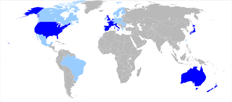
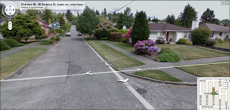
“Google Street View is a feature of Google Maps and Google Earth that provides for many streets in the world 360° horizontal and 290° vertical panoramic views from a row of positions along the street (one in every 10 or 20 meters, or so), from a height of about 2.5 meters. It was launched on May 25, 2007, and has gradually expanded to include more cities, and in these cities more streets, and also some rural areas. These photographs are currently available for countries including United States, United Kingdom, Netherlands, France, Italy, Spain, Japan, Australia, and New Zealand. Coverage is shown by dragging ‘pegman’ from its position, on a map of any scale” (Wikipedia).
Google Street View has become controversial because it juggles our First Amendment right to document public spaces around us with an individual’s rights to privacy. The US military and the governments of Russia, India, and South Korea, have expressed concerns about their security being breached by Google’s imaging service (the Pentagon has banned Google from publishing Street View content of U.S. Military bases and asked Google to remove existing content of bases; Google has complied with this order). Parents have expressed concern about the security of their children being compromised, several communities have actively tried to prevent their neighborhoods from being photographed, British police even think that thieves are using the internet feature to steal expensive koi carp from homeowner’s backyard ponds, and Google has been unsuccessfully sued for breach of privacy.
Google spokesmen counter such concerns by stating, “Criminals could use maps, phones and getaway cars but no one would argue that these technologies are responsible for the crime itself; that responsibility lies with the perpetrator,” and legal analysts concur, pointing out that Google has the legal right to take pictures in public places and that resulting lawsuits would have no legal basis. Ironically, privacy advocates and believers in “Big Brother” conspiracies are vastly outnumbered by Facebook and Twitter fans who are only too willing to have intimate pictures and details of their private lives made available on line. To be googled or not to be googled, that’s the question…