Professor Michael Goodchild, considered the “father of geographic information science (GISc)” which is the academic theory behind the development, use, and application of geographic information systems (GIS), was quoted in a November 16 New York Times article titled “Online Maps: Everyman Offers New Directions”. The thrust of the Times article is the emergence of an army of volunteer cartographers responsible for “volunteered geographic information” (VGI), a term Goodchild coined in 2007 to describe the harnessing of tools “to create, assemble, and disseminate geographic data provided voluntarily by individuals. Sites such as Wikimapia and OpenStreetMap are empowering citizens to create a global patchwork of geographic information, while Google Earth and other virtual globes are encouraging volunteers to develop interesting applications using their own data” (Goodchild, M.F., 2007. Citizens as sensors: the world of volunteered geography. Journal of Geography, 69(4):211-221).
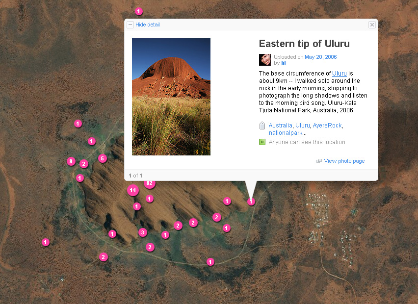
“In the past few years a flood of new web services and other digital sources have emerged that can potentially provide rich, abundant, and timely flows of geographic and geo-referenced information. Collectively they might be termed volunteered sources. They include geotagged entries in Wikipedia, the more specialized place descriptions accumulating in Wikimapia, sites such as OpenStreetMap that support volunteer efforts to create public-domain geospatial data layers, the geotagged photographs of Flickr, and mashups with Google Earth and Google Maps. It is now possible to find out an enormous amount about the geographic domain from such sources, provided they can be synthesized, verified, integrated, and distributed. Such sources have earlier precursors in citizen science, as exemplified by the Christmas Bird Count or Project GLOBE (Mike Goodchild & Rajan Gupta, http://www.ncgia.ucsb.edu/projects/vgi/).”
The phenomenon of the spread of “georeferenced content being made available on the Web by both expert and non-expert individuals” is seen as part of “an emerging Geoweb that provides Application Programming Interfaces (API’s) to software developers and increasingly user-friendly web mapping software to both scientists and the public at large” (Wikipedia). The Times article also notes that professionally created maps often have errors and that the agencies and corporations that produce them can be slow to add corrections and make updates. Google has moderators who try to verify the accuracy of users’ changes, unless they are very minor, while OpenStreetMap relies on its members to police changes: “As far as we can tell so far, these new sources are as accurate as the traditional ones,” Professor Goodchild said. People have been contributing information to digital maps for some time, building displays of crime statistics or apartment rentals. Now they are creating and editing the underlying maps of streets, highways, rivers, and coastlines. “It is a huge shift,” said Goodchild: “This is putting mapping where it should be, which is in the hands of local people who know an area well.”
Goodchild’s seminal article on VGI cites an historic case in point: “In 1507 in St Dié-des-Vosges, Martin Waldseemüller drew an outline of a new continent and labeled it America. It appears that he was influenced by new books being circulated in Europe at the time, and particularly by the Soderini Letter and its purported author Amerigo Vespucci, and the latter’s claims to the continent’s discovery… the events of 1507 provide an early echo of a remarkable phenomenon that has become evident in recent months: the widespread engagement of large numbers of private citizens, often with little in the way of formal qualifications, in the creation of geographic information, a function that for centuries has been reserved to official agencies. They are largely untrained and their actions are almost always voluntary, and the results may or may not be accurate. But collectively, they represent a dramatic innovation that will certainly have profound impacts on geographic information systems (GIS) and more generally on the discipline of geography and its relationship to the general public. I term this volunteered geographic information (VGI).”
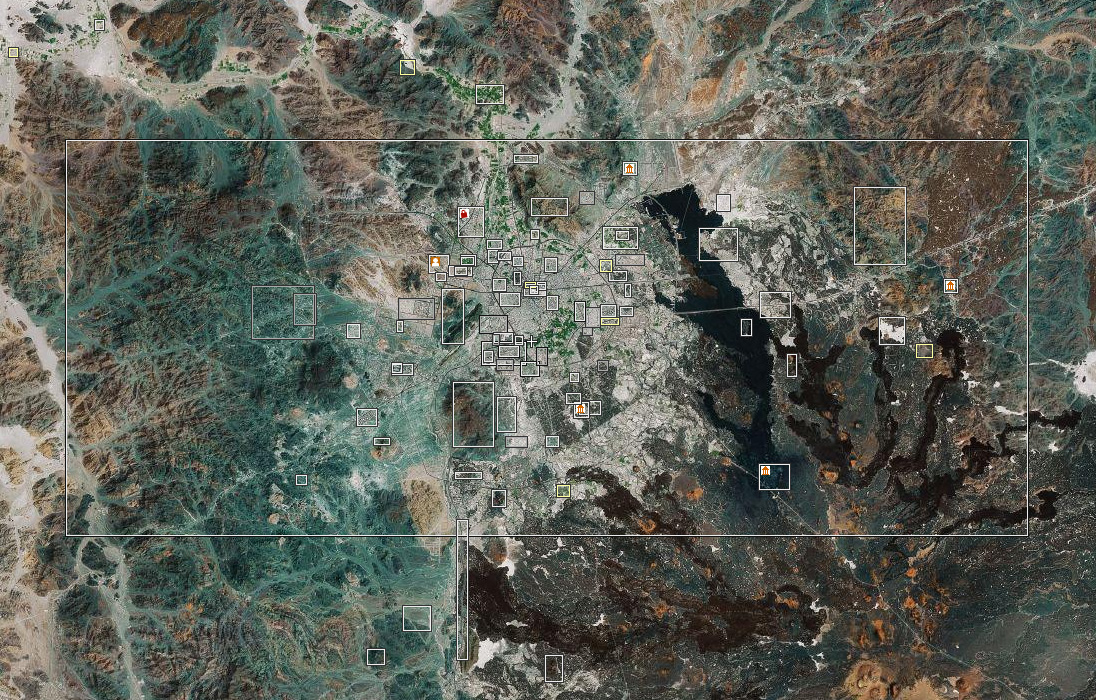
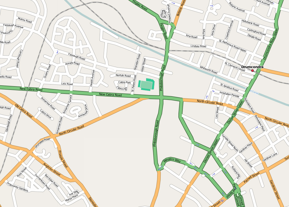
Editor’s note: Many thanks to Prof. Goodchild for editing this article and for providing the graphics and their captions.