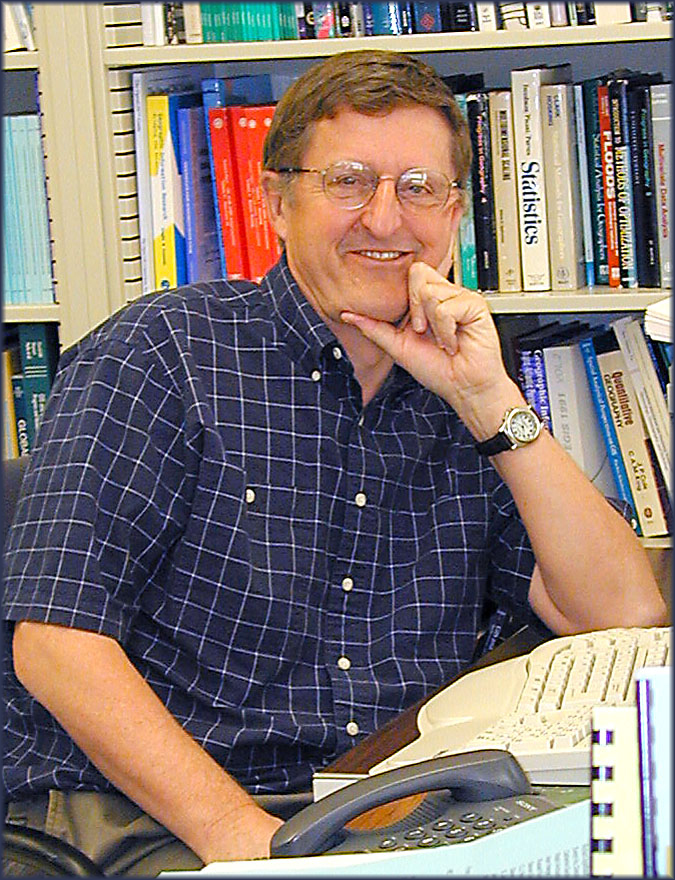
In a recent Media Advisory, the National Science Foundation announced that “on Nov. 17, as part of NSF’s Distinguished Lecture series, world-renowned geographer Michael Goodchild discusses the changing face of GIS.” This Distinguished Lecture is sponsored by NSF’s Directorate for Social, Behavioral & Economic Sciences and will take place 2:00-3:00 p.m. EST in the NSF Stafford II building in Arlington, Virginia:
“Change is coming in the way people create knowledge about the geographic environment in which they live, and it’s causing seismic paradigm shifts. Community mapping, a form of citizen science whereby local people participate in geographically defining an area, is increasingly taking on greater significance–especially during times of emergency and natural disaster.
As part of the National Science Foundation’s (NSF) Distinguished Lecture series, geographer Michael Goodchild gives a talk on Nov. 17 titled, ‘From Community Mapping to Critical Spatial Thinking: The Changing Face of GIS’ (geographic information systems). He will discuss how individuals are using distributed, real-time data enabled by social networks to define landscapes that have been suddenly altered by floods, hurricanes and other acts of nature. He says these methods differ sharply from map-making tradition and they’re forcing geographers to shift their thinking from analyzing geographic information to synthesizing it from many sources. Ultimately, he will discuss what these and other changes mean for geo-education, grounding his argument in fundamental spatial concepts that hold the key to simplifying the GIS user interface and redefining the goals of GIS education.”
PS: An NSF video of Mike’s presentation can be found here.
Thanks to Professor Chris Still for bringing this item to the editor’s attention. “Sir” Michael Goodchild has received so many awards recently that it’s hard to keep up!


