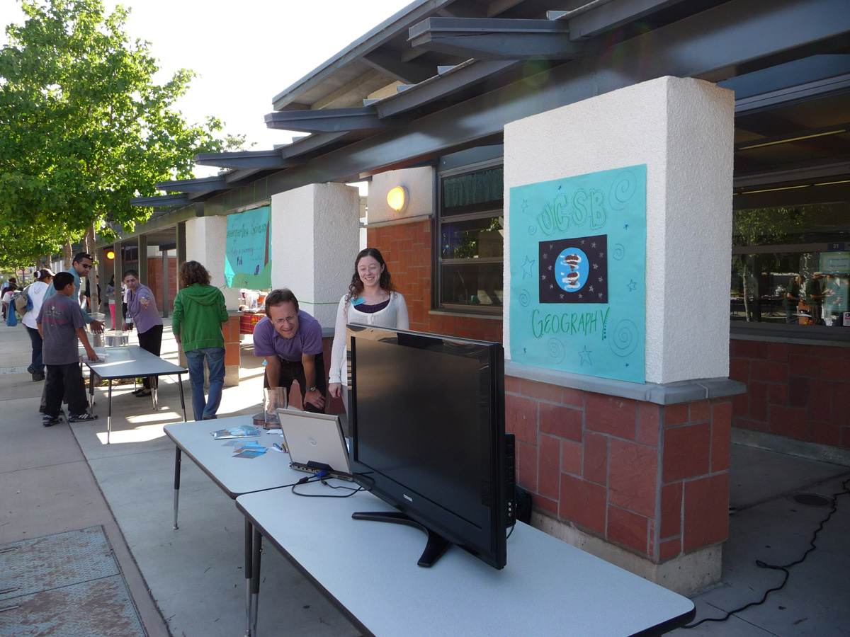
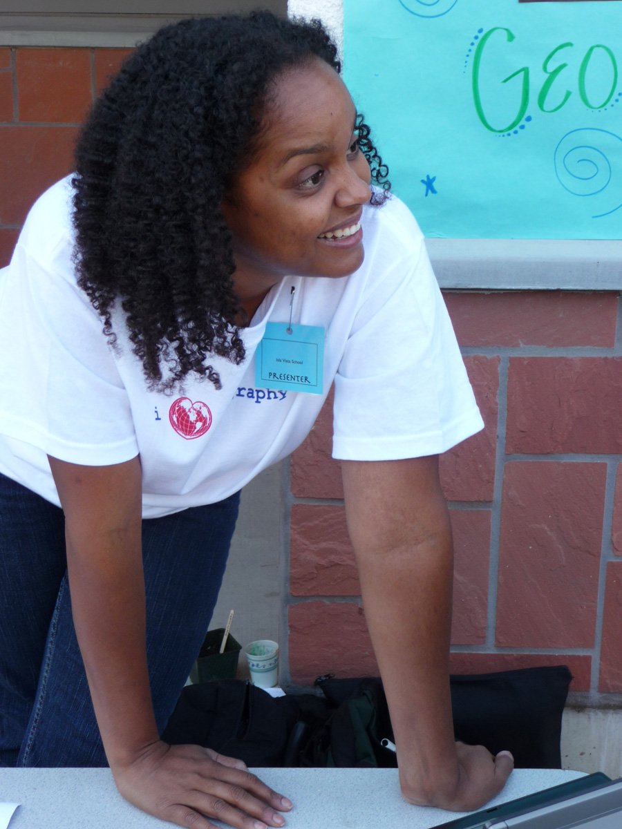
Professor Martin Raubal invited grad students Keely Roth and Indy Hurt to participate in the Isla Vista School (http://www.islavista.goleta.k12.ca.us/) Science Night on Thursday May 21st. This is where Eric and Ian Raubal spend their days learning all of the wonderful things kindergarten and the second grade have to offer. Each year, the Isla Vista School invites local community and university scientists to the school to share exciting experiments and aspects of their field with the students. Martin, Keely, and Indy represented UCSB Geography alongside exhibits from the Earth Science Department, the Goleta Water District, the UCSB Materials Research Lab, and several others.
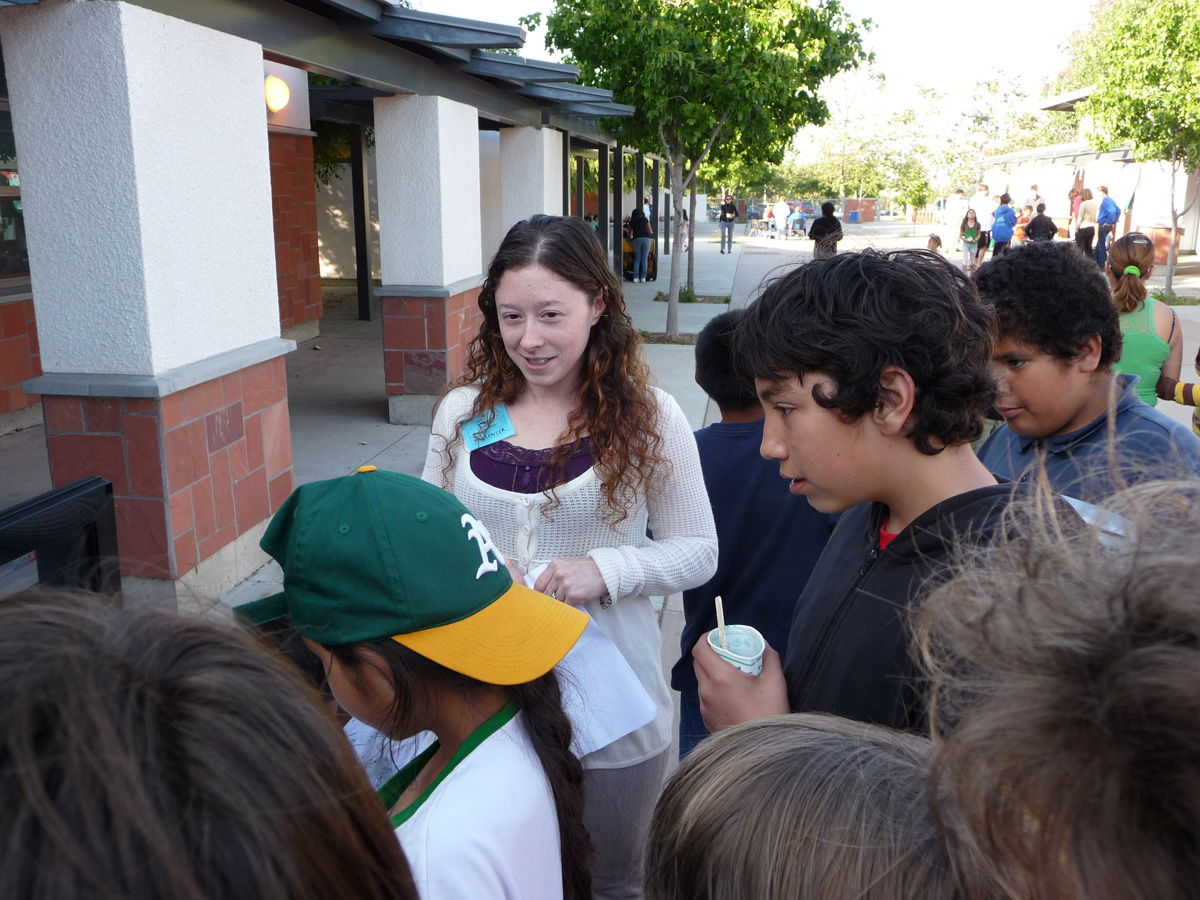
Armed with a laptop, wireless Internet connection, and a large monitor borrowed from spatial@ucsb, Keely and Indy engaged the students with a mystery tour designed to inspire students to travel the world and interpret land forms from above. When a location was truly puzzling, students were given clues. Some students chose to zoom out. Others were fascinated to learn about the oblique view and how it can be used to identify features. Last but not least, the fun fact clues about each location were also a big hit.
Here are three of the clues from the most popular location: 1. Opened in 1955 with the dedication “To all who come to this happy place, welcome…” 2. Conceived as a place where adults and children can go to have fun together 3. Divided into regions with names like “Main St. USA” and “Frontierland” Any guesses?
Keely and Indy were always ready with the clues, but rarely needed to use them, even in some of the more difficult locations (e.g., the Great Wall of China). These kids were sharp! Even the adults got into it, nudging their children and prompting “We’ve been there dozens of times…” (referring to the Santa Barbara Mission).
Courtesy of Martin Raubal, everyone that participated in the mystery tour received a chance to win one of three Panamaps by Urban Mapping. These interesting maps display three layers of thematic data that reveal themselves, based on the angle at which one holds the map. To find out more about this novel approach to pack as much as possible onto a single map sheet, visit .
Article contributed by Martin Raubal, Keely Roth, and Indy Hurt.