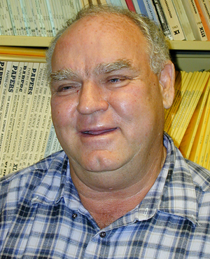
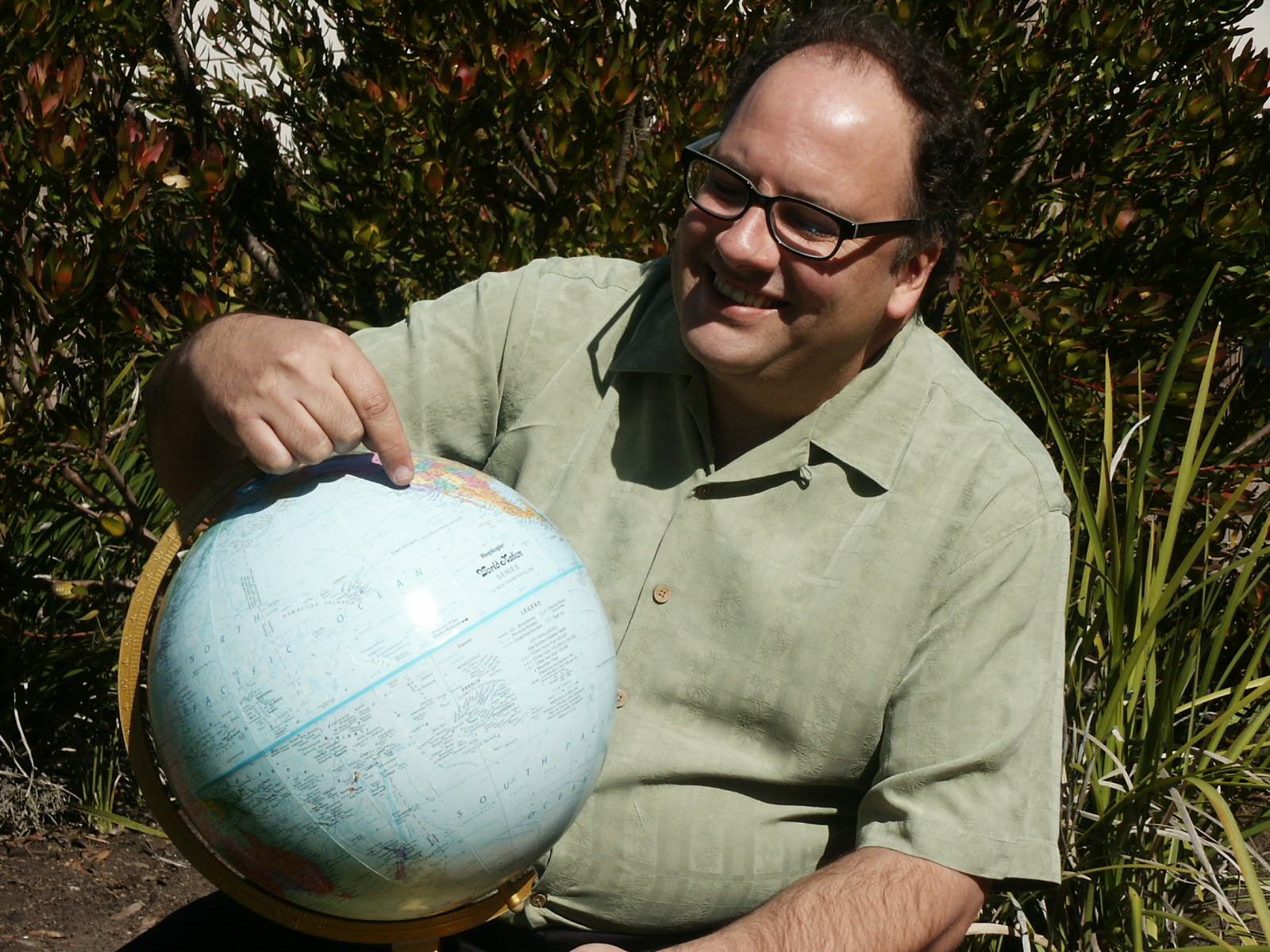
As part of its series of Advanced Training Institutes (ATIs), the American Psychological Association asked Professor Reg Golledge, as a leading behavioral geographer and expert in GIS applications to human research, if he would organize a workshop aimed at introducing the science and technologies of Geographic Information Systems to psychologists and other behavioral scientists. The first workshop was held on August 16, 2007 in San Francisco and was devoted to introducing “Geographic Information Systems for Psychological Research” to a select group of psychological scientists. The success of last year’s 1-day workshop prompted Nicolle Singer, the APA Science Programs Associate, to ask Professor Golledge to direct a similar ATI, of 3 days duration, to be held at the UCSB Department of Geography July 16-18.
The theme of this year’s ATI was “Geographic Information Systems for Behavioral Research,” and the 3-day workshop consisted of morning presentations by leading GIS experts, afternoon sessions designed to familiarize participants with selected GIS software and techniques of Spatial Analysis, and a focus on GIS usage in cognitive science, health sciences, counseling, criminology, and education. The ATI instructors included Reginald G. Golledge (behavioral geographer, UCSB), Michael C. Goodchild (geographer and GIS expert, UCSB), Daniel R. Montello (geographer, psychologist, and cognitive scientist, UCSB), Stephen Hirtle (psychologist and information scientist, University of Pittsburgh), Gerard Rushton (geographer and health scientist, University of Iowa), and C. Donald Heth (psychologist, University of Alberta). Presentations included “What Are GIS and GIScience?” (Goodchild); “GIS and Selected Applications in Geographic and Psychological Research” (Golledge); “GIS and Psychology: Research Issues” (Montello); “Information Systems and GIS” (Hirtle); “The Psychology and Geography of Search and Rescue: What SAR Can Tell Us about Operational GIS” (Heth); and “The Importance and Challenges of Spatial Analysis in Public Health Practice and Research” (Rushton).
Grad Student Researchers Sean Benison and Nate Royal organized and ran the afternoon lab sessions, each of which focused on a different technical aspect of GIS. Participants were encouraged to bring some examples of the digitized data they hoped to analyze using GIS. Sample data was provided to all participants for use during the labs, and the participants received an extensive set of reference materials related to GIS.
The ATI was a major success. Professor Golledge noted that the 22 participants were better prepared and more interactive than those at last year’s ATI: “We had an excellent group of participants, some of whom were very knowledgeable about GIS, while others were very enthusiastic about learning. I also believe the format proved to be very acceptable to all, and, certainly, the volume of topics covered was excellent.” The participants included graduate students and post docs in various fields from several universities; professors of Psychology, Education, and Sociology; a member of Connecticut’s Department of Mental Health and Addictions Services; a Senior Research and Evaluation Analyst at The Children’s Trust in Miami-Dade County, Florida; and a clinical research coordinator and project director for a hospital Caregiver’s Program in Temple, Texas. Sample comments: “I plan to put knowledge gained from this advanced training institute to use immediately by geocoding our datasets and combining them with census variables.” “Knowledge gained in this ATI will be used throughout our research projects to improve health and wellness through community transformation.” “I have used GIS applications in limited ways, but wish to increase my knowledge and skill. GIS has the potential to facilitate data mining and multivariate examination of school and district practices that sustain improvement.” “I am working on a module for teaching credential students using GIS to represent acculturation status within school communities. Students could then run independent analyses to determine how acculturation status mediates the well-known relationships between ethnicity, socioeconomic status, and academic performance.” “I am experimenting with GIS as a pedagogical tool and vehicle for participatory action research in order to map psychological and social boundaries.” “I’m interested in using the skills gained from this ATI to examine the relationship between the geographic distribution of a continuum of mental health and addiction treatment programs and clients’ timely transition to less intensive services following acute care.”


