GeoEye (formerly Orbital Imaging Corporation or ORBIMAGE) is a commercial satellite imagery company based in Dulles, Virginia, that is the world’s largest space imaging corporation. The company was founded in 1992 as a division of Orbital Sciences Corporation in the wake of the 1992 Land Remote Sensing Policy Act which permitted private companies to enter the satellite imaging business. The division was spun off in 1997. It changed its name to GeoEye in 2006 after acquiring Denver, Colorado-based Space Imaging for $58 million. Space Imaging was founded and controlled by Raytheon and Lockheed Martin. Its principal asset was the IKONOS satellite.
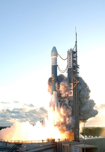
On 2004-12-01, General Dynamics C4 Systems announced it had been awarded a contract worth approximately $209 million to build the OrbView-5 satellite. Its sensor is designed by the ITT Corporation. The satellite, now known as GeoEye-1, was originally scheduled for April 2008 but lost its 30-day launch slot to a U.S. government mission which had been delayed. It was rescheduled for launch August 22, 2008 from Vandenberg Air Force Base aboard a Delta II launch vehicle. The launch was postponed to September 4, 2008, due to unavailability of the Big Crow telemetry-relay aircraft. It was delayed again to September 6 because Hurricane Hanna interfered with its launch crews.
The launch took place successfully on September 6 at 11:50:57 a.m. PDT (1850:57 UTC). The GeoEye-1 satellite separated successfully from its Delta II launch vehicle at 12:49 p.m. PDT (1949 UTC), 58 minutes and 56 seconds after launch. GeoEye-1 will provide 41 centimeters (16 in) panchromatic and 1.65 meter multispectral imagery in 15.2km swaths. The spacecraft is intended for a sun-synchronous orbit at an altitude of 425 miles (684 km) and an inclination of 98 degrees, with a 10:30 a.m. equator crossing time. GeoEye-1 will be able to image up to 60 degrees off nadir. It will be operated out of Dulles, Virginia.
At the time of its launch, GeoEye-1 was the world’s highest resolution commercial earth-imaging satellite. GeoEye-1 was manufactured in Gilbert, Arizona and launched from Vandenberg Air Force Base in California. Google, which has its logo on the side of the rocket, has exclusive online mapping use of its data. While GeoEye-1 is capable of imagery with details the size of 41 centimeters (16 in), Google will have access to details of 50 centimeters (20 in). Prior maximum commercial imagery was 60 centimeters (24 in). (This material was taken from