As of last week, it became appropriate to address Karl Grossner, Ting Lei, and Michael Marshall as “Doctor.” Yep, they all made it through their respective PhD defenses with flying colors, and the Department is justifiably proud of them.
Karl Grossner’s committee consisted of Michael Goodchild (Chair), Helen Couclelis, Keith Clarke, Martin Raubal, and Ruth Mostern (UC Merced, History). His dissertation was titled “Representing Historical Knowledge in Geographic Information Systems,” and his abstract is as follows: “A growing number of historical scholars in social science and humanities fields are using geographic information systems (GIS) to help investigate spatial questions and map their findings. The nature of historical data and historiographic practices present several challenges in using GIS that have been addressed only partially to date. For example, although events are inherently spatial and a fundamental construct in historical reasoning, there have been few attempts to create comprehensive data models for describing them. Likewise, computational representations of historical processes and narrative remain largely undeveloped. In this research, the emerging genre of digital historical atlas is presented as a broad use case and contextualized. Its representation requirements are detailed in novel conceptual and logical models of relevant geo-historical information constructs, presented as a generalized development framework. An event-centered and information-based spatial history ontology (SHO) was developed by adapting and extending an existing upper ontology (DOLCE). Its implementation in a spatial object-relational database populated with several historical datasets is described. Some important challenges remaining in this large, ultimately collaborative undertaking are discussed.”
The University of California, Santa Barbara Center for Spatial Studies (spatial@ucsb) has been awarded a National Science Foundation NSDL Pathways Small Grant to extend and enhance this web site by developing a TeachSpatial collection for the National Science Digital Library, and making it available within our Resources section. Instructors in numerous STEM fields have developed digital teaching resources relevant to instruction in spatial thinking, and many of these are registered in the NSDL, but we lack the means to locate them in this multidisciplinary context. Work begins in January, 2011 with initial results beginning to appear at http://www.teachspatial.org/ in late March.
Ting Lei’s committee consisted of Richard Church (Chair), Kostas Goulias, Keith Clarke, and John Current (external), and his dissertation was titled: “Location Modeling Utilizing Closest and Generalized Closest Transport/Interaction Assignment Constructs”. According to Ting, “This dissertation addresses the so-called closest assignment (CA) conditions in location modeling which assume that, in the allocation phase of a location-allocation model, each user will choose or be assigned to the facility or activity site which involves the smallest distance or the least transport/interaction cost. This is useful in service/logistics systems where users can choose which facilities to use. New location and logistics models involving closest assignment and multi-assignment have been developed.”
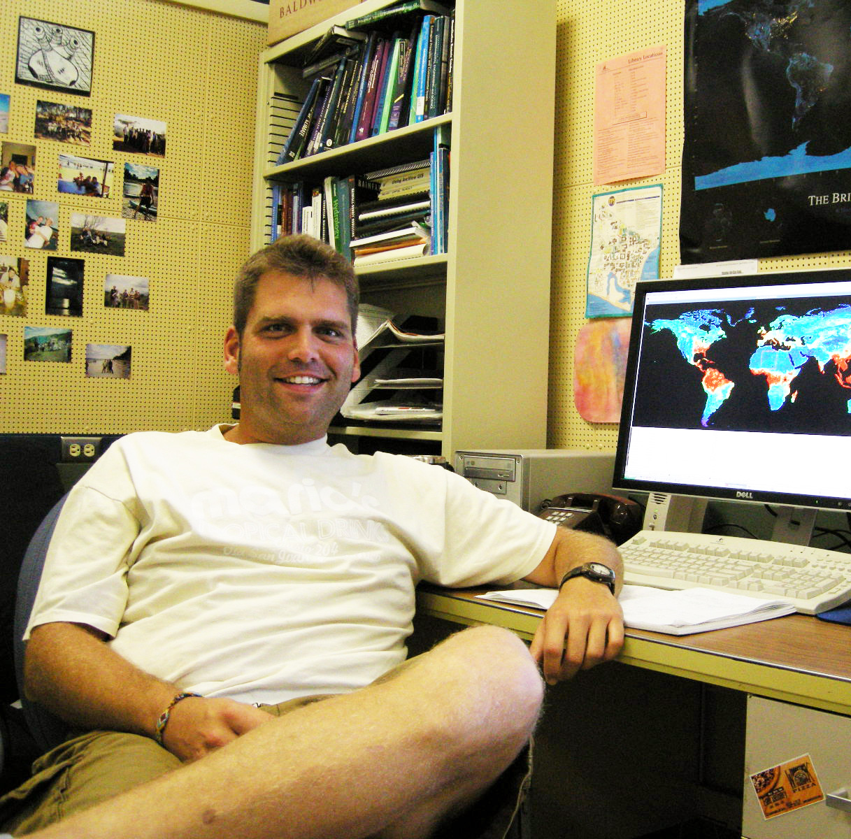
Mike Marshall’s committee consisted of Joel Michaelsen (Chair), Christopher Still, Dar Roberts, Christopher Funk, and Christopher Williams. His dissertation was titled “Modeling Actual Evapotranspiration in sub-Saharan Africa with Implications for Food Security,” and his abstract is as follows: “Studies on changes in the water cycle in sub-Saharan Africa are few, due in part to poor calibration of modeled actual evapotranspiration (Ea), a key input in continental-scale hydrologic models. In this work, readily and freely available remote sensing and surface reanalysis data are combined to create Ea model estimates from 1979-2009 for sub-Saharan Africa. Chapter II summarizes the modern (2000-2009) phase of the analysis, which yielded Ea estimates with a lower bias and higher correlations (particularly in the humid tropics) when compared against observed measurements. This model is most appropriate for near real-time monitoring applications, as it uses the latest remote sensing and surface reanalysis data. In chapter III, the transpiration component of the model, which includes a dynamic vegetation parameterization appropriate for use in semi-arid regions, is used to develop a crop stress index that is applied to tracking district-level crop yield estimates. Chapter IV summarizes the findings of the historical (1979-2009) analysis, which summarizes Ea and climate-(surface temperature and precipitation) related trends and implications for mitigating food insecurity in the region. In chapter IV, several land surface models are compared using runoff data from 1979-2000. Trend analysis and harmonic regression were used to determine the timing and magnitude of Ea and climate-related trends from the model with the highest performance. The most significant trends for food security were found in the Sahel. Large decreases in Ea corresponded to decreases in precipitation (soil moisture supply) and increases in surface temperature (atmospheric demand). Several sub-regions were compared to understand the contribution of precipitation reductions and surface temperature increases to decreases in Ea. Although precipitation plays an important role in these sub-regions, as has been shown in previous studies, surface temperature appears to be significant as well, particularly at higher latitudes where temperatures are more extreme. This reveals, under expected climate warming, that a shift in the energy balance in the Sahel will further inhibit agricultural development and increase food insecurity in the region.”
.jpg)