Four years into a historic drought, Californians understand the immense threat posed by climate change. The UCSB campus and community have taken numerous measures to minimize and offset the environmental footprint of tens of thousands of people occupying our seaside paradise, from green building design to solar installations; from the use of gray water to water saving retrofits. In addition to the local environmental actions, a number of research groups investigate the wider causes and impacts of climate variability and climate change. On the fourth floor of UCSB’s Geography department lies one such dedicated institution— the Climate Hazards Group.
The Climate Hazards Group (CHG) is a team of physical scientists, social scientists, programmers, and field experts that analyze climate impacts on those most vulnerable to extreme weather and climate change, with special focus on food security, crop performance, and water availability. Using satellite data and ground observations, they develop models that reliably predict crop performance in those areas of the world most vulnerable to crop failure. Funded by USGS and as part of FEWS NET (the Famine Early Warning Systems Network), the CHG’s analyses of food security have a direct impact on where and when resources are allocated to those most in need via USAID. In addition, they provide crucial tools and knowledge necessary for local policy makers to successfully mitigate, and sometimes avoid, disaster.
One such example was the CHG’s quick identification and response to this summer’s drought in Ethiopia. Upon receiving reports from on-the-ground observations of drought in September 2015, the group used their satellite-based precipitation estimates, Climate Hazards Group InfraRed Precipitation with Station data (CHIRPS), and soil moisture models (from NASA Goddard’s Amy McNally, a UCSB alumna) to analyze rainfall accumulation over those months. The resulting analyses found a near absence of rain during the summer months, reinforcing the ground observations. Moreover, this absence was in an area where crop yields are highly sensitive to decreases in rain and the local communities rely heavily on those crops both for sustenance and economic security. The group quickly shared these findings with FEWS NET, providing a scientific base for policy that brought aid to the country, mitigating some of the harshest impacts of food insecurity.
In addition to conducting rapid-response analyses, CHG also researches how anthropogenic climate change alters weather patterns in the Greater Horn of Africa, providing policy makers with information to implement preventative measures. The CHG’s Chris Funk and Shraddhanand Shukla co-authored a study that found that the increased gradient between warm and cool waters in the western and central Pacific contributed to the 2014 drought in Ethiopia, Kenya, and northeastern Tanzania. Moreover, they found that this gradient in sea-surface temperatures was partially attributed to anthropogenic climate change, demonstrating how human activity is influencing weather patterns around the world.
While the CHG focuses mostly on those areas least able to adapt to the worst impacts of climate, it also keeps an eye on what’s happening at home. Shukla co-authored a study which analyzed the best method to predict the likelihood of a drought in California. Given the state’s significant variation in rain from year to year, it is crucial for policy makers to be able to determine, at an early stage, the likelihood of the state entering into, or continuing to be in, a drought. The researchers found that the month of December was the best drought-indicator, as rainfall in December was frequently a good predictor of rainfall accumulations in the following winter months.
The CHG also collaborates with researchers around the world investigating climate impacts on society, from impacts on birth weight to crop performance and its implications for civil unrest. In a groundbreaking study, a CHG-affiliated researcher, Colin P. Kelley, collaborated with researchers at Columbia University to analyze the link between climate and conflict in Syria. They established that the 2007-2010 drought contributed significantly to the conflict. The drought, shown to have been influenced by human-caused climate change, lead to widespread crop failure and massive migration of farmers to urban areas, eventually sparking civil war and political unrest. This new link between climate and conflict has enormous political implications for local policy makers, national security, and global efforts toward climate mitigation.
In another study, CHG affiliate and University of Utah professor Kathryn Grace and her team of researchers worked with Funk, Shukla, and CHG’s Frank Davenport to analyze the impacts of changing temperature and precipitation on birth weights in Africa. Low birth weight is of particular importance as it has been shown to lead to negative health impacts on the child, even into adulthood, and puts economic stress on the family. The study identified a relationship between birth weight and climate across 19 countries, in which high temperatures and decreased precipitation were found to have a significant correlation with low birth weight outcomes. More specifically, they found that high temperatures have a particular impact on non-agricultural populations due to heat stress on the mother, and precipitation had a stronger impact on populations that are highly reliant on crop production.
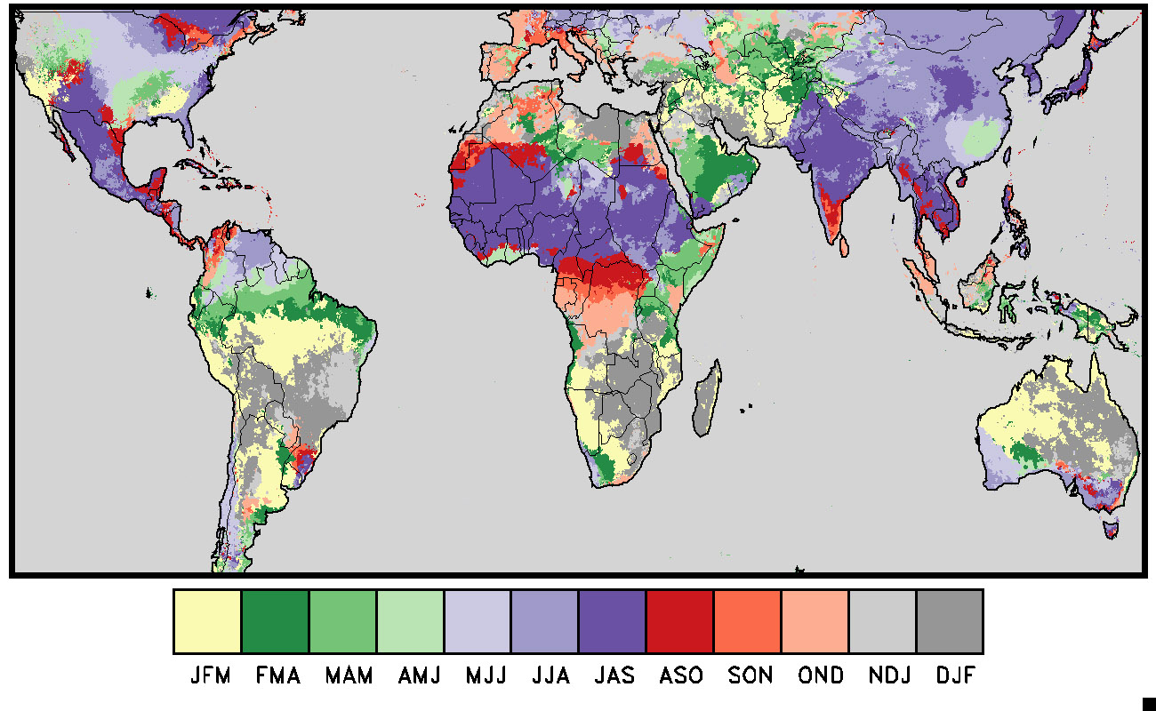
But the CHG is more than just a research group. Recognizing the need for local scientists to have both the access and training to analyze climate fluctuations and impacts in their own regions, the CHG has made it its mission to produce accessible tools and datasets. These resources include its global rainfall dataset (CHIRPS), a global climatology (CHPClim), the Early Warning Explorer (EWX), and its two climate and crop analysis tools—the GeoClim and GeoWRSI—all of which are freely available on the CHG’s website. In a further effort to support local analysis of climate hazards, the CHG both employs regional scientists full time and provides training for regional experts who will, in turn, train other technicians in the region. Currently, one-third of the CHG team is composed of field scientists in South America and Africa who have full access to CHG’s resources, in addition to a strong understanding of the needs of people on the ground. The CHG scientists also travel around the world to provide training for users of these tools, empowering local scientists and decision makers to run their own analyses and come to their own conclusions. With each training, the CHG hopes to build local capacity for well-informed civic planning, disaster preparedness, and hazard mitigation.
In a world of climate shifts where super storms, prolonged drought, and massive conflicts over access to water and other resources are the new normal, the work being done by groups such as the CHG is becoming more relevant by the day. While global institutions scramble to cap emissions and slow the rate of change in the climate, adaptation is necessary to deal with the historical emissions which have locked in unavoidable changes in the climate. Successful adaptation that is preventative, responds to the needs of communities, and is based in accurate climate forecasting is key to limiting the suffering of many communities. The work done by the CHG in its early identification of hazards, forecasting, and analyses of vulnerable areas helps to do just that and, in turn, helps avoid some of the worst humanitarian crises.
Editor’s note: Many thanks to the CHG folks, especially Lab Assistant Emily Williams, Assistant Researcher Greg Husak, and Computer Resource Specialist Libby White, for contributing this article.


.jpg)