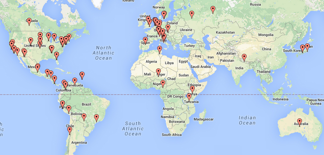
The Climate Hazards Group (CHG) is pleased to announce version 2.0 of their Climate Hazards Group InfraRed Precipitation with Stations (CHIRPS) dataset. CHIRPS, a blend of rainfall station observations, satellite temperature data, and climatology fields, first began several years ago as an internal CHG/USGS data product used to place droughts in a historical context. Beginning in May of 2014, the CHG began to release the CHIRPS dataset as an external data product. CHIRPS is now available from daily to 3-monthly time scales, from 1981 to near-present at 0.05 degree spatial resolution.
CHIRPS is helping decision makers and climate scientists around the world gain a better understanding of global climate shifts, mitigate the devastation of famines, identify food insecurity hot spots, and guide policy for agricultural development. CHIRPS is especially useful for those specializing in drought early warning and drought monitoring, as they can use the high resolution CHIRPS data to monitor rainfall in near-real time. The dataset covers nearly the entire globe, spanning from 50° South to 50° North at all longitudes, which makes it useful for people looking at the big picture of global climate change as well as for individuals who are more interested in tracking the trends of their local area.
CHIRPS enables climate scientists to more accurately assess regional variations in climate conditions. With the development of the GeoCLIM tool, even less experienced users can make use of the dataset to illustrate and review climate conditions and trends. In addition to the GeoCLIM, CHIRPS is also available via Early Warning eXplorer (EWX), a joint project with the USGS Earth Resources Observation and Science (EROS) Center.
CHIRPS version 2.0 is available via the CHG’s FTP site here.
More details are available on the CHIRPS page of the CHG website. Information regarding newly developed/refined diagnostic tools to help analyze station data is available there. The CHIRPS development team is currently working on making CHIRPS version 2.0 available through Google Earth Engine ), as well as CHIRPS Snippets, a “snippet” of code that will allow users to dynamically embed CHIRPS data on their web server via EWX (http://ewx.geog.ucsb.edu/ewx-snippets/).
CHIRPS development has been funded by USGS, USAID, NOAA, and the NASA Applied Sciences Program. Pete Peterson and Marty Landsfeld curate the satellite and station datasets used to build the CHIRPS. If you know of or have access to a local Met Service or other source of historic precipitation station data, they would very much like to add it to their processing stream, as the quality of CHIRPS is improved by adding good station data to the process. Long term data sets are preferred, and anything near-real time is ideal.
Editor’s note: If you would like to be added to the mailing list for CHIRPS releases and updates, please email chirps@geog.ucsb.edu. Feedback on the dataset is welcome and encouraged! Many thanks to Research Support Staffer Libby White for contributing this article.


