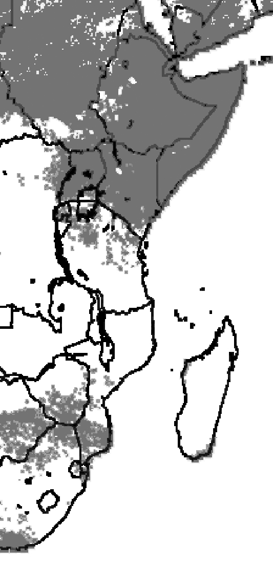
Dr. Chris Funk, an off-site researcher for our Climate Hazards Group who is now with the U. S. Geological Survey’s Center for Earth Resource Observations and Science, has a recent, featured article in The Earth Observer, a newsletter published by the Earth Observing Science (EOS) Project Science Office. The article, “New Satellite Observations and Rainfall Forecasts Help Provide Earlier Warning of African Drought,” describes how NASA data from the Atmospheric Infrared Sounder (AIRS) and SeaWinds are being entered into the U.S. Agency for International Development’s Famine Early Warning System Network to forecast drought in Eastern and Southern Africa.
To quote Chris’ abstract: “The poor nations of sub-Saharan Africa face a constant struggle against weather and climate. The outcome of that struggle profoundly influences these nations’ economic growth, health, and social stability. Advances in climate monitoring and forecasting can help African nations and international aid organizations reduce the impact of these natural hazards. Satellites play a crucial role in this effort as they enable scientists to track climate conditions over data-sparse land and ocean areas. In this article, I discuss how a multi-organizational group of scientists use satellite data and statistical forecasts to provide earlier and more accurate early warning of potential drought conditions. We frame our discussion in a specific, timely context—that of probable dramatic food insecurity in Zimbabwe, Eastern Kenya, and Somalia. As this article was being prepared in mid-December, very warm conditions in the Indian Ocean appear likely to produce below normal December–January–February rainfall in both Eastern Kenya/Somalia and Zimbabwe” (complete text here).
Chris concludes his article by pointing out that researchers are beginning to understand the patterns and dynamics of climate revealed by remote sensing and historic rainfall archives and to make educated guesses about the future: “When these forecasts and satellite-observed rainfall are combined with in-country analyses of prices, grain stores, political conditions, and agricultural inputs, we can provide effective early warning of potential food shortages related to drought. The food aid community has already mitigated the impact of very large droughts (such as that of 2002–03 in Ethiopia—an event similar in magnitude to the 1984–85 event that cost a million lives). While these are real and positive steps forward—putting Earth observations into service for the poorest nations on earth—we must remember that humanitarian crises are fundamentally caused by a failure of human institutions. True progress will require improving the agricultural capacity and early warning systems of these African nations. This will allow them to better harness the power of satellites, improving their food security and resilience. Rising food costs and drought induced by a warming Indian Ocean make these objectives increasingly important.” Our hat off to Chris for having the academic skill to make a difference and the humanitarian will to do so.


