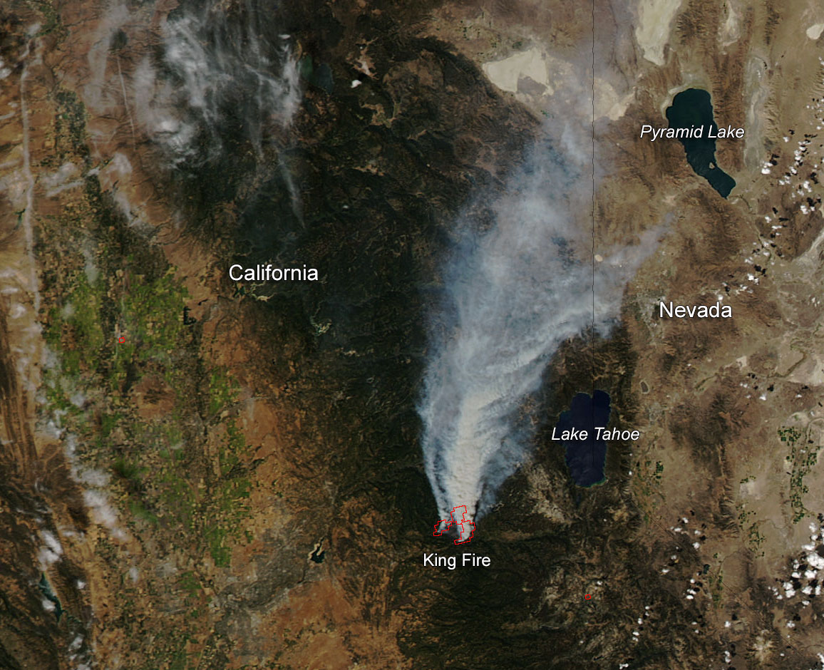
According to a NASA news release, California’s King Fire tripled in size from Monday, September 15 to Tuesday morning, September 16, and current weather conditions are doing nothing more than helping it along. The hot, drought conditions and winds have produced over 12 major fires that still burn all over California. The King Fire is just one of them. It is located east of Sacramento in the Pollock Pines community. Residents have been given mandatory evacuation orders and over 1,600 homes are currently threatened by this fire. It began Saturday September 13 and has spread rapidly through the area fueling itself with heavy timber and undergrowth. The fire is expected to spread to the east, north and west with the fire well-established in several canyon bottoms burning uphill to the ridges above. The cause of the fire remains under investigation. It is currently 5% contained.
Update: A state of emergency has been declared for Northern California counties hit by the fires as of September 18. See more here; current information for all California fires is available here.


If you would like to be on our mailing list of latest news postings, or if you have anything relating to the Department that you consider noteworthy, interesting, or just plain fun that you would like to share, please contact the news editor News Editor