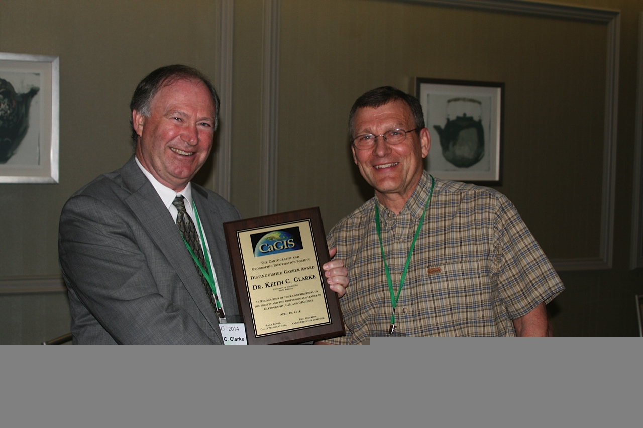
“The Cartography and Geographic Information Society (CaGIS) is composed of educators, researchers and practitioners involved in the design, creation, use and dissemination of geographic information. CaGIS provides an effective network that connects professionals who work in the broad field of Cartography and Geographic Information Science both nationally and internationally (www.cartogis.org). The CaGIS board met at the annual Association of American Geographers Meeting in Tampa, Florida, April 8-12, 2014, and awarded UCSB Geography Professor Keith Clarke the 2013 Distinguished Career Award. The following is the announcement of the award by Terry Slocum, Vice President of CaGIS:
“As Past President of the Cartography and Geographic Information Society, I am pleased to announce that the recipient of the 2013 Distinguished Career Award is Keith Clarke. The Distinguished Career Award is awarded each year to honor the accomplishments of senior professionals who have contributed substantially to the advancement of the fields of cartography, GIS or GIScience, or the interface between cartography and GIScience. I would like to thank Lynn Usery and Mike Goodchild for nominating Keith and for providing the material that will enable me to introduce Keith.
Keith received his BA from Middlesex Polytech in London and his MA and PhD from the University of Michigan. He was a faculty member at Hunter College from 1982-1986 and has been on the faculty at UCSB since 1996.
In the research realm, Keith has been highly thought of for his work in four areas. His early work dealt with terrain modeling, where he used the techniques of fractals and spectral analysis to develop a novel method for estimating the fractal dimension of terrain. A second theme of Keith’s research has involved an examination of the history of geographic information technologies and their roles in military and intelligence applications. An example of his work here is his controversial argument that a large proportion of technical developments that now underpin geographic information technologies originated in issues surrounding the Corona spy-satellite program in the 1960s.
Perhaps Keith is best known for his pioneering work on the application of cellular automaton models to urban growth. Urban growth models are often difficult to calibrate, but Keith’s work has produced major advances. Finally, Keith is known for his novel work in field GIS. In collaboration with others at UCSB and Iowa State, he has promoted the use of mobile computing technologies and wireless connectivity to exploit the use of GIS tools in the field. For example, he has promoted the use of computers embedded in user’s clothing. These research ideas have been published in more than 100 refereed journal articles and book chapters, and supported by numerous grants from NSF, NASA, and USGS.
In the teaching realm, Keith has supervised 21 PhD and 40 Master’s students, and he has frequently published papers with these students. Although certainly successful with graduate students, he also has been active in undergraduate teaching. He is author of the widely known text Getting Started With Geographic Information Systems (now in its fifth edition) and is the author of the just released e-book Maps & Web Mapping: An Introduction to Cartography. It is not surprising that in 2003 UCGIS recognized Keith as Educator of the Year.
In the service realm, Keith has been active at a variety of levels. For example, he chaired the department at UCSB for six years, served as President of CaGIS, served as North American editor of the prestigious journal IJGIS, chaired several National Research Council Committees, and has edited the book series in Geographic Information Science for Pearson over a 22-year period.
Reflecting these achievements, Keith has been the recipient of numerous awards – particularly noteworthy is the John Wesley Powell Award, the USGS’s highest award for achievement. Clearly, Keith is more than worthy of the Distinguished Career Award from CaGIS.”


