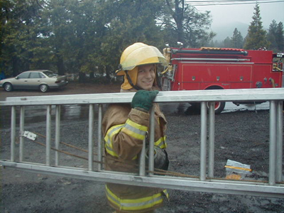
Eli Kersh-Oliva received his BA in Geography last June and currently works for the Santa Barbara County Fire Department. Here’s what he has to say about fighting fire with GIS:
“I was offered the job in May because of my work in conjunction with the fire department during my senior project in Dr. Goodchild’s GIS class 176 C. The project’s goal was to show houses in the Mission
Canyon area that were in risk of fire danger. Not many of the Chiefs knew what GIS was or how it could be used. Captain Dave Neels (whom I worked with on the project) and I recognized that the current reference maps used by the Fire Department were way out of date (1968-74) and had been updated regularly since then with penciled in roads and addresses. I set out to create a new pilot reference book using Arcview for one of the stations and a presentation showing some of the other uses of GIS in hopes of creating a GIS position for me.
The presentation was given in late May to six of the top chiefs and some county officers. It was received with a lot of enthusiasm, and I began to work for the department the following week as a GIS Tech. My primary goal was to remap the entire county down to the last driveway! I used aerial photography and the old maps to locate and include all the information the department needed, such as gates, various types of hydrants, special fire department locks, and an assortment of other points of interest.
I have almost completed the entire county in the last 8 months with the help of an intern (John Manus) and my supervisor whom I taught some basic editing functions in ARC GIS 9.2. Throughout the project I was given the opportunity to work with multiple county agencies like the assessors office to get files I needed and to receive advice and suggestions. I was also given a car which I used to travel around the state to meet with other fire departments and GIS professionals to discuss the architecture of the new map books.
One exciting aspect of the new map book is its use of new federal standards such as the USNG (US National Grid) which uses Universal Transverse Mercator zones.
I will be completing my work for the department in 3 weeks, after which I plan to relocate to
Hats off to Eli – and to Geography 176 C!