In Xenophon’s Symposium (ca. 421 BC), Socrates is said to have commented that his wife, Xanthippe, is “the hardest to get along with of all the women there are.” Predictably, Xanthippe has come down in history as an archetypal model of a shrew, and an apocryphal anecdote has it that Xanthippe was once so angry with her husband that she threw a bucket of washing water on him (in some versions, it’s the contents of a chamber pot). Socrates reputedly (and philosophically) replied: “after thunder comes rain.”
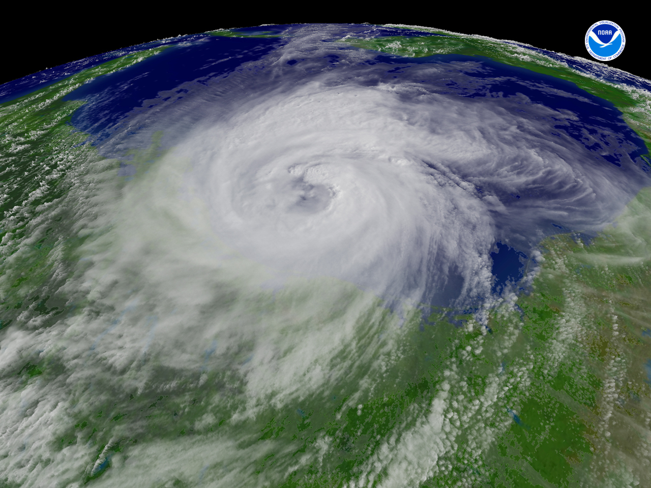
The hurricane season in the Atlantic begins June 1st and ends November 30th, and as many as 14 hurricanes could hit the Atlantic basin this year, according to The National Oceanic and Atmospheric Administration (NOAA). NOAA forecasts 14 to 23 named storms, 8 to 14 of which could develop into hurricanes of category three or higher, which means they bring sustained winds of at least 111mph (178km/h), and NOAA’s Climate Prediction Center – a division of the National Weather Service – claims a 70% probability of such events (Source).
“If this outlook holds true, this season could be one of the more active on record,” said Jane Lubchenco, under secretary of commerce for oceans and atmosphere and a NOAA administrator. “The greater likelihood of storms brings an increased risk of a landfall. In short, we urge everyone to be prepared.” The outlook ranges exceed the seasonal average of 11 named storms, six hurricanes and two major hurricanes. Expected factors supporting this outlook are: 1) upper atmospheric winds conducive for storms – wind shear, which can tear apart storms, will be weaker since El Niño in the eastern Pacific has dissipated; strong wind shear helped suppress storm development during the 2009 hurricane season; 2) warm Atlantic Ocean water – sea surface temperatures are expected to remain above average where storms often develop and move across the Atlantic; record warm temperatures – up to four degrees Fahrenheit above average – are now present in this region; and 3) a high activity era continues – since 1995, the tropical multi-decadal signal has brought favorable ocean and atmospheric conditions in sync, leading to more active hurricane seasons; eight of the last 15 seasons rank in the top ten for the most named storms with 2005, in first place with 28 named storms.
“The main uncertainty in this outlook is how much above normal the season will be. Whether or not we approach the high end of the predicted ranges depends partly on whether or not La Niña develops this summer,” said Gerry Bell, Ph.D., lead seasonal hurricane forecaster at NOAA’s Climate Prediction Center. “At present we are in a neutral state, but conditions are becoming increasingly favorable for La Niña to develop.” “FEMA is working across the administration and with our state and local partners to ensure we’re prepared for hurricane season,” according to FEMA Administrator Craig Fugate. “But we can only be as prepared as the public, so it’s important that families and businesses in coastal communities take steps now to be ready. These include developing a communications plan, putting together a kit, and staying informed of the latest forecasts and local emergency plans. You can’t control when a hurricane or other emergency may happen, but you can make sure you’re ready.”
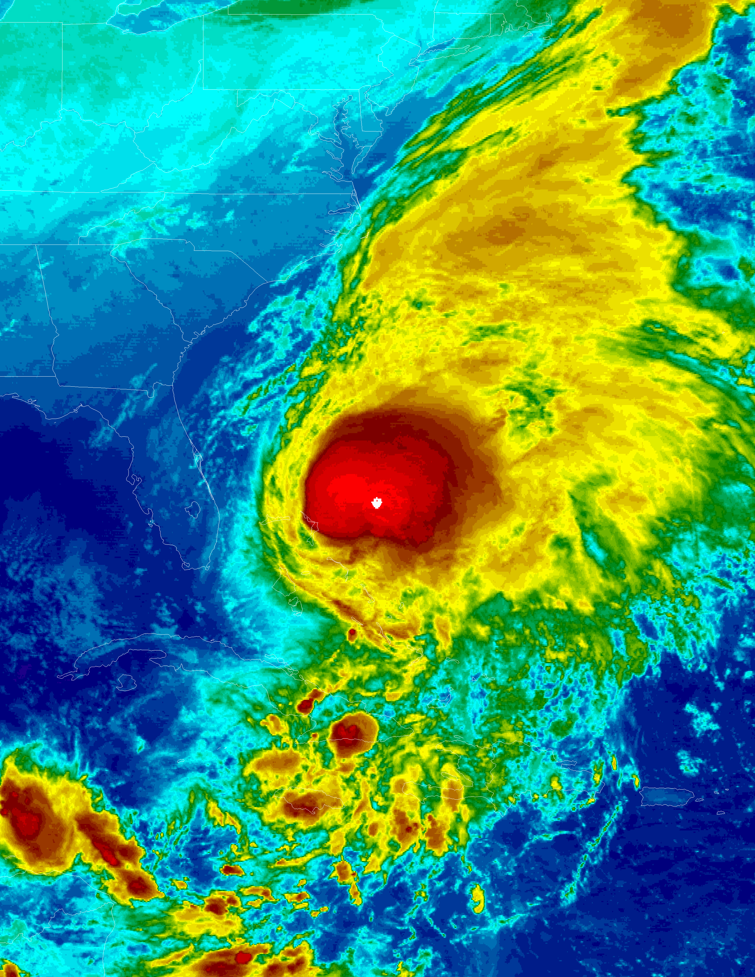
The big question, of course, is how hurricanes will impact the ongoing BP oil spill in the Gulf. According to the latest NOAH fact sheet, “the high winds and seas will mix and ‘weather’ the oil which can help accelerate the biodegradation process; the high winds may distribute oil over a wider area, but it is difficult to model exactly where the oil may be transported; movement of oil would depend greatly on the track of the hurricane; storms’ surges may carry oil into the coastline and inland as far as the surge reaches, and debris resulting from the hurricane may be contaminated by oil from the Deepwater Horizon incident, but also from other oil releases that may occur during the storm.
Thus, in VERY GENERAL TERMS: A hurricane passing to the west of the oil slick could drive oil to the coast; a hurricane passing to the east of the slick could drive the oil away from the coast; however, the details of the evolution of the storm, the track, the wind speed, the size, the forward motion, and the intensity are all unknowns at this point and may alter this general statement.” Cold comfort for the Socratic populace of the Gulf…