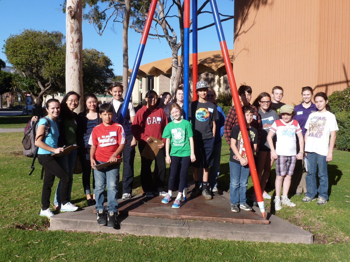
How many palm trees are in the courtyard beside Storke Tower? What color are the door handles on the Thunderdome? These and other trivia questions were devised by Santa Barbara County 4-H members, ages 9–16, in a project to create a scavenger hunt on the UCSB campus while learning about GIS.
4-H is an international youth development organization that focuses on science, citizenship, and life skills. Members participate in projects in each of these areas that emphasize hands-on, experiential learning. In the US, 4-H programs are implemented by land-grant universities—like the University of California—and the Cooperative Extension System, a nationwide, non-credit educational network (source).
Geography graduate students Kitty Currier, Susan Meerdink, Marcela Suárez, and Haiyun Ye of the Center for Spatial Studies and the department’s Outreach Committee developed the scavenger hunt project to align with the 2013 national 4-H science theme, “Maps & Apps.” Following the 4-H “learn by doing” approach, the project was designed to teach participants how to read and navigate with a map, use a GPS receiver to collect geospatial data, and visualize their data using Google Earth. Over three consecutive Saturdays in February, participants met in Ellison Hall to learn skills and conduct activities that culminated in their final project: a scavenger hunt on the UCSB campus, complete with trivia questions, photographs, and a route map.
On Day 1, participants learned the basics of map-reading by following self-guided tours from the Interactive Campus Map (http://map.geog.ucsb.edu/). Day 2 was devoted to data collection, where the participants selected and walked to different locations on campus, recorded their latitude–longitude coordinates, devised trivia questions, and shot descriptive photographs. Participants synthesized their data on Day 3, when they were tasked in pairs to design their own scavenger hunt. Working with a common set of data from Day 2, each pair developed their own design that included a map created in Google Earth, trivia questions, and photographs, all assembled on two letter-sized pages.
“I was pretty surprised at how much some kids already knew about maps and also their passion in learning more about maps” said Haiyun, who helped lead and to design the project. “I like seeing how kids help each other out in groups. I was impressed by how good their final scavenger hunt maps were. I was also glad to see how excited they were when looking at the products of their effort.”
Haiyun, Marcela, Susan and Kitty became 4-H Volunteer Leaders in order to conduct the project. This brought back memories for Susan and Kitty, who were, themselves, members of 4-H clubs in Plymouth County, Iowa, and Larimer County, Colorado, respectively. Graduate students Erin Wetherley and Bonnie Bounds provided additional help in running the project. Participants reported that they especially enjoyed walking around campus and using Google Earth. “It was fun to learn about the earth’s surface,” said one nine-year-old participant. Others mentioned teamwork and learning to use GPS receivers as highlights of their experience. Especially gratifying was feedback provided by the parent of one 16-year-old participant: “He’s now looking into GIS areas as a major for college. You hooked (at least) one!”
Editor’s note: Many thanks to Kitty Currier for providing this article.


