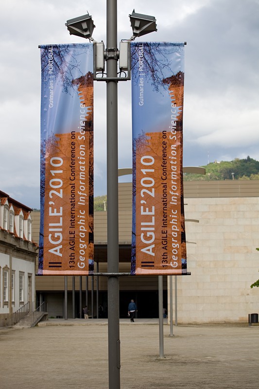
Professor Martin Raubal presented a paper at the 13th AGILE International Conference on Geographic Information Science 2010 in Guimaraes, Portugal 11th – 14th of May 2010 and won the best paper award. The paper in question is Martin Raubal and Stephan Winter, “A Spatio-Temporal Model Towards Ad-Hoc Collaborative Decision-Making.” The reviewers of the conference selected the top three submissions to be featured in the final day’s Best Paper Session. After the presentations, people in the audience voted on the best paper. The award was sponsored by ESRI and handed over by Michael Gould, ESRI’s director of higher education.
AGILE’s web site points out that “the Association of Geographic Information Laboratories for Europe, was established in 1998 to promote academic teaching and research on GIS at the European level and to ensure the continuation of the networking activities that have emerged as a result of the EGIS Conferences and the European Science Foundation GISDATA Scientific Programs. AGILE seeks to ensure that the views of the geographic information teaching and research community are fully represented in the discussions that take place on future European research agendas. AGILE also provides a permanent scientific forum where geographic information researchers can meet and exchange ideas and experiences at the European level. Activities of AGILE are managed by an eight person council elected by its members. Its main tasks are to develop an organizational structure to realize the goals of AGILE, to further develop with the help of the members a European research agenda, to instigate and stimulate initiatives, and to organize a yearly GI-conference.”
According to the bio-sketch on his web site, Martin Raubal, an Associate Professor at the Department of Geography at UCSB, “is also an affiliated faculty member at the Department of Computer Science and a faculty member of the Cognitive Science Program at UCSB. Martin received his Ph.D. in Geoinformation from Vienna University of Technology in 2001 with honors. He also holds a M.S. degree in Spatial Information Science and Engineering from the University of Maine and a Dipl.-Ing. in Surveying Engineering from Vienna University of Technology. Martin’s research interests lie in the area of cognitive engineering for geospatial services, more specifically he focuses on representing and modeling people’s cognition and spatio-temporal behavior, and the integration of such models into geospatial applications for the enhancement of people’s decision-making support. His teaching includes courses on GIS, cartographic design, geovisualization, cognitive and temporal aspects of GIS, spatial cognition and wayfinding, and research methods. Martin is currently a board member of the University Consortium for Geographic Information Science (UCGIS) and serves on the editorial boards of Transactions in GIS, Journal of Location Based Services, and Geography Compass. He was a council member of AGILE, the Association of Geographic Information Laboratories in Europe, from 2005-2006. Martin served as Program Chair of the 4th International Conference on GIScience 2006. He has authored and co-authored more than 50 books and research papers published in refereed journals and conference proceedings.”


