The Sedgwick Natural Reserve Photo Gallery
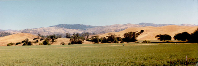
Image 1. View of the agricultural field with Figeuroa Mountain in the background.
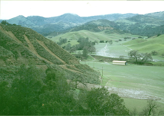
Image 2. The agricultural field damaged by a hillslope failure in winter of 1998 (El Nino).
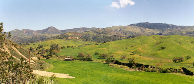
Image 3. The agricultural field in Spring of 1998.
Image 4. The agriculture field in Spring of 1998.
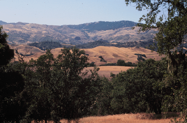
Image 5. North west view of the Reserve with Figeroa Mountain in the background.
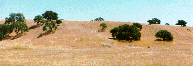
Image 6. View of the Paso Robles formation with a general view of the Hillslope study site.
Image 7. Close-up view of the hillslope study site before it was fenced in 1996.
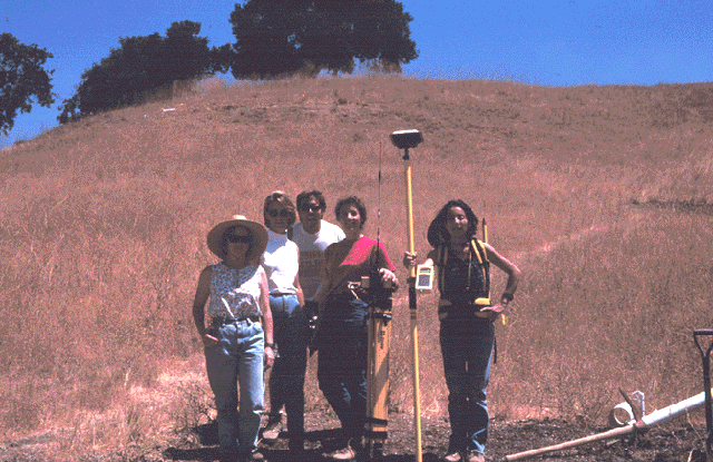
Image 8. GPS instrument used to create a DEM of the Hillslope study site
.
Image 9. View of an instrumented soil profile on the hillslope study site.